OK difficulty level brought down
Just name the place from where pics were taken
is it somewhere between isb and murree ?
This post was flagged by the community and is temporarily hidden.
Nope. This landscape is different than Isl-Murree
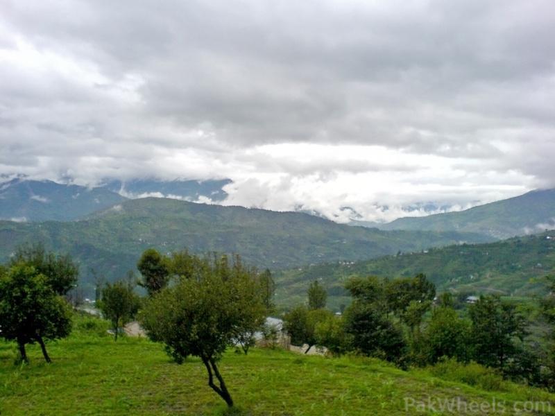
well...altitude doesn't seem to be much high...Cultivation can also be seen in the left bottom of the pic....the trees are likely to be low altitude ones....electric poll can also be seen....could be anywhere...
Sorry bro
OK a big hint as i want to solve something myself as well
Its KKH
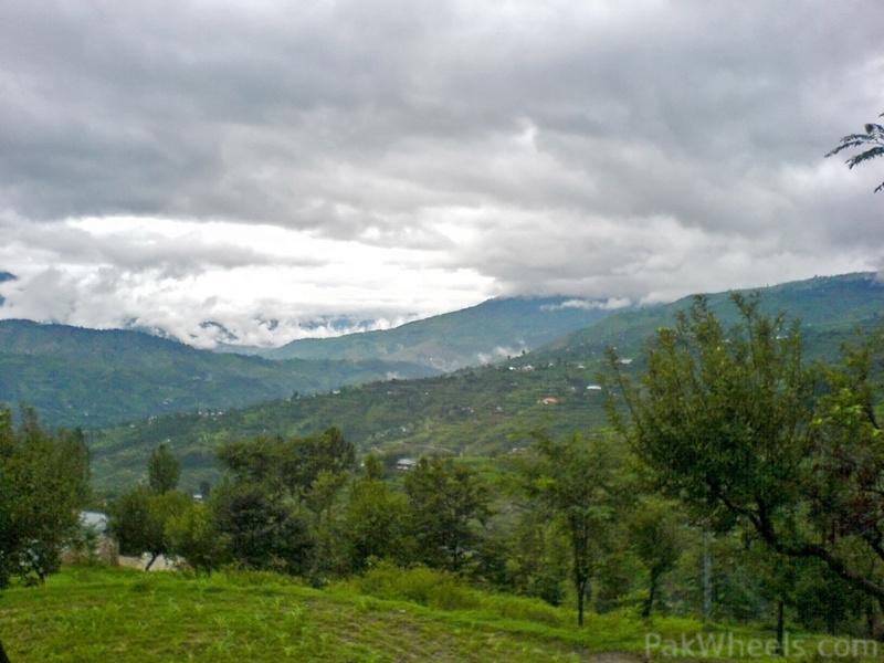
All the above pics were of mountains, streams, trees which can be anywhere but whosoever has crossed this area must have noticed the views around
around mansehra on N15...or may be around chatter plain on kkh
Somewhere Near AbbotAbad...
Yup ...... its Chattar Plain
Jawab durust hoa !!!
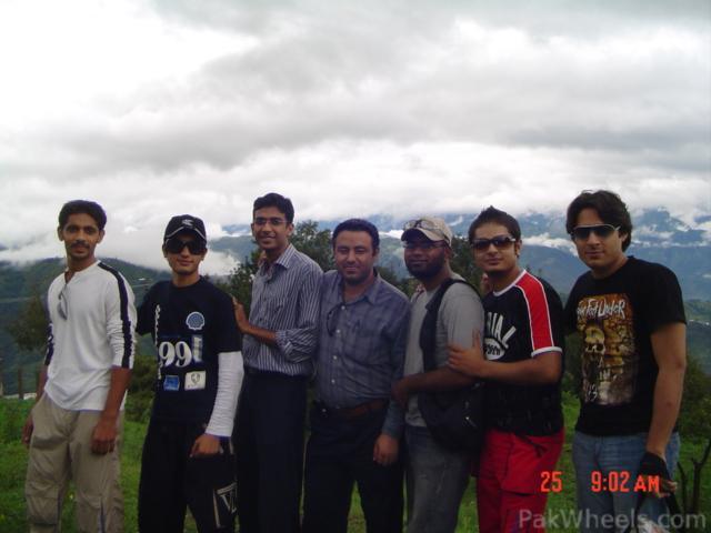
On way to Fairy Meadows in 2006.
Models ... look at my glasses on far right
hehehe
goutcha....lol
alright....last question for me....time to sleep after that
Thanx mate
Good Night guys....c u tomorrow,Allah hafiz
Goodmorning all
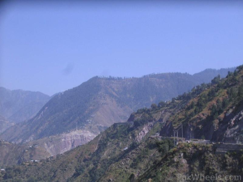
You have to tell the location/village at the flat top of the hill
An easy one... I think no hint needed.
Shogran ?? Right?
Shogran, i think?