My turn to shed some knowledge
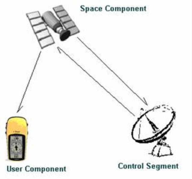
GPS is a small unit which takes signal from atleast 3 satellites at a time for accuracy and gives you your position on ground say an eight figure grid reference
basic GPS unit has nothing but figure like altitude, grid reference, if you have fed in a destination then an arrow showing you the direction, it looks something like this and easily available in local market though the price varies but minimum is around 7000 rs (a rough idea)
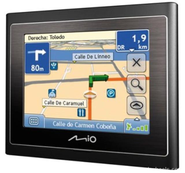
Then there is a navigationa sys which works on the same principle as a GPS but it has animated maps, roads, buildings etc of the area whose software has been loaded. And generally a navigational map of a scarcely populated area may not exist like ... chak 179 AB near sargodha and even for that matter sargodh itself, this is a pic of navigational map