excelent .............. more pics pleaseeeeeeeeee
Zabar dast
Great Great Great...what an adventure & what an entry..!! Superb..!!!Pics please..??
Excellent write up.
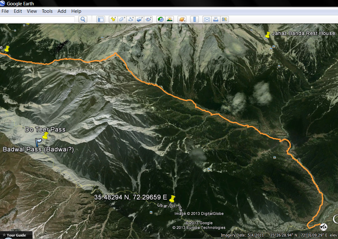
This is quite far from Jahaz Banda actually.
Co-ordinates for Jahaz Banda Rest House are:
35.3946389 N, 72.3084111 EHere is the screenshot:
010 by Mobeen Mazhar, on Flickr
@aseigeThank you very much indeed for setting my orientation right. The reference map that we were following (distributed by the army at the festival) showed Jahaz Banda and Jhandri village right on the Utror-Thal track. So I assumed that this pictured Forest Department resthouse lies at Jahaz Banda. The Jahaz Banda meadows, as you folks mentioned is atleast 15 kms crow-flight away from the photgraphed Resthouse. I now stand corrected. But in anycase, I will have that printed map scanned and post it here, which caused all the confusion in my mind.
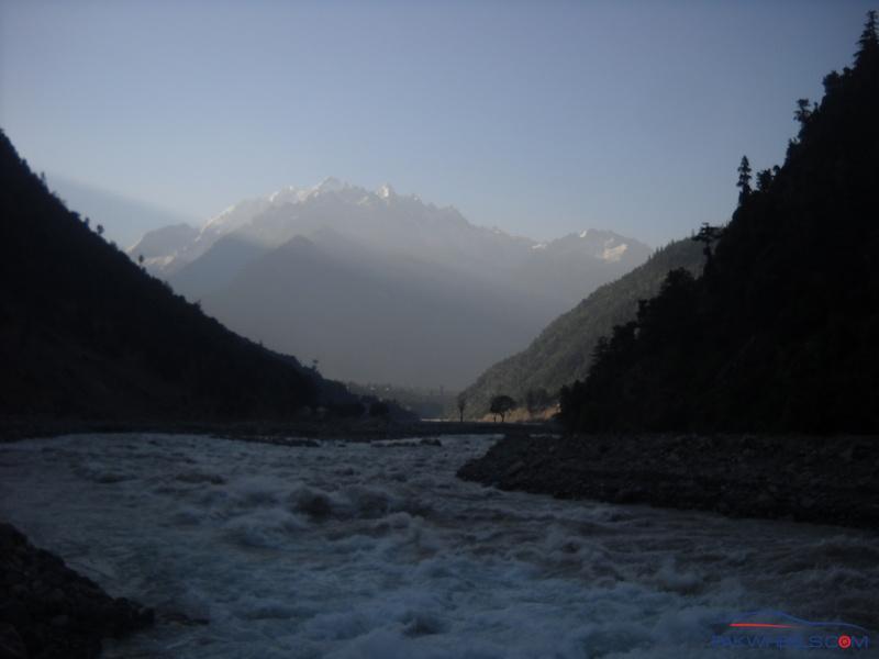
Ushu valley opening up
The mountains towards Utror as seen from our Guest House
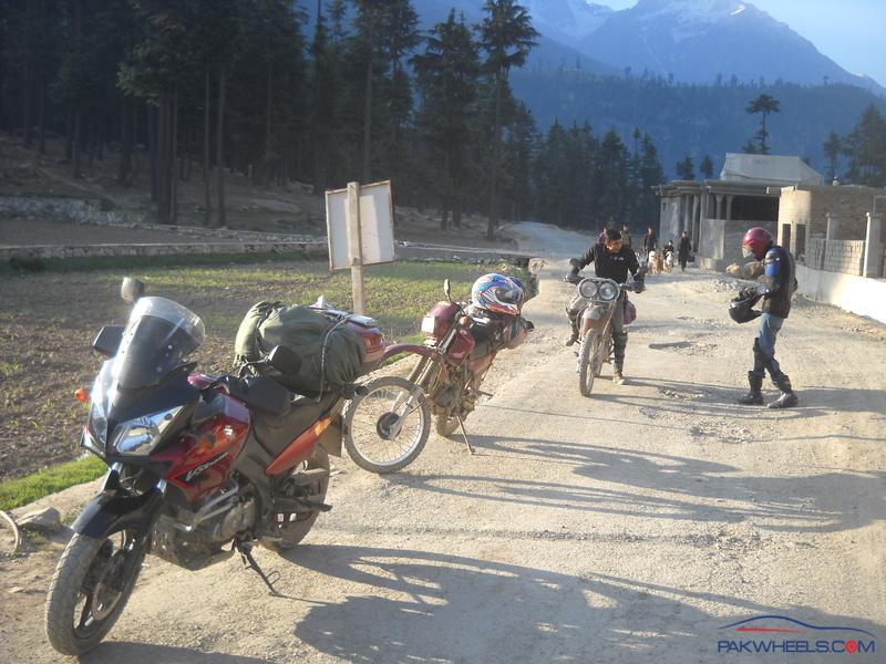
Getting ready to start-off for the Dir track outside the guest house. Kalam mountains in the back drop.
Speechless!!! Amazing!!!
great stuff..............
Writing of more than 50 paragraphs in one sitting......amazing..!!
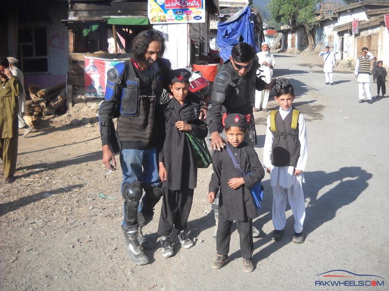
Thank you folks for all the appreciation and encouragement.
Very Adventurous trip...AmazingWaiting for more pix to come:)
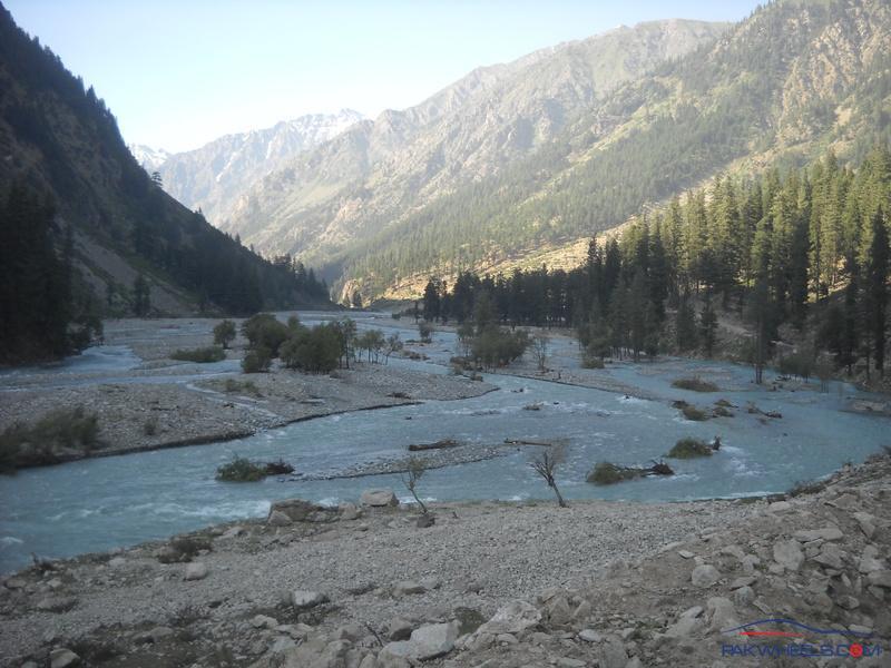
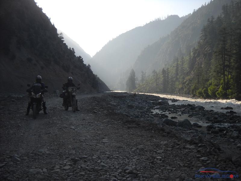
The raging rapids of Utror / Gabral River on way to Utror.
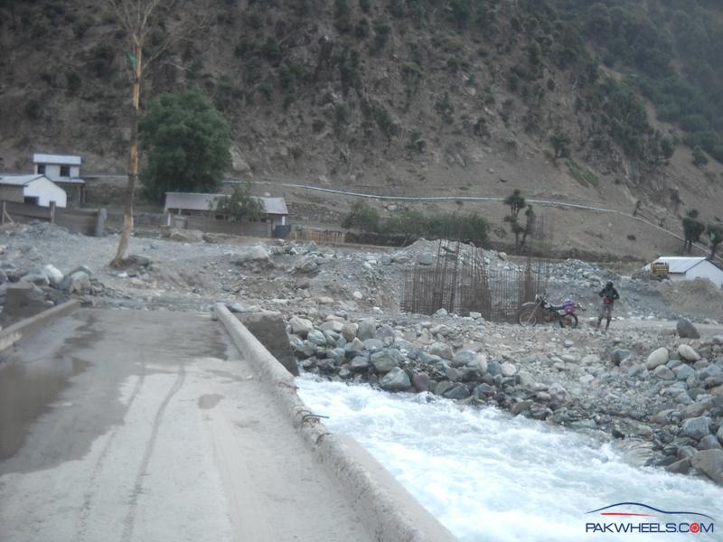
Looks like a newly built concrete bridge on the Utror track.
This section of the Utror track is full of sharp rocks / shingles. Two Toyota Corolla taxis passed over it a few minutes earlier!
Tayyab heading for Utror on his XR400
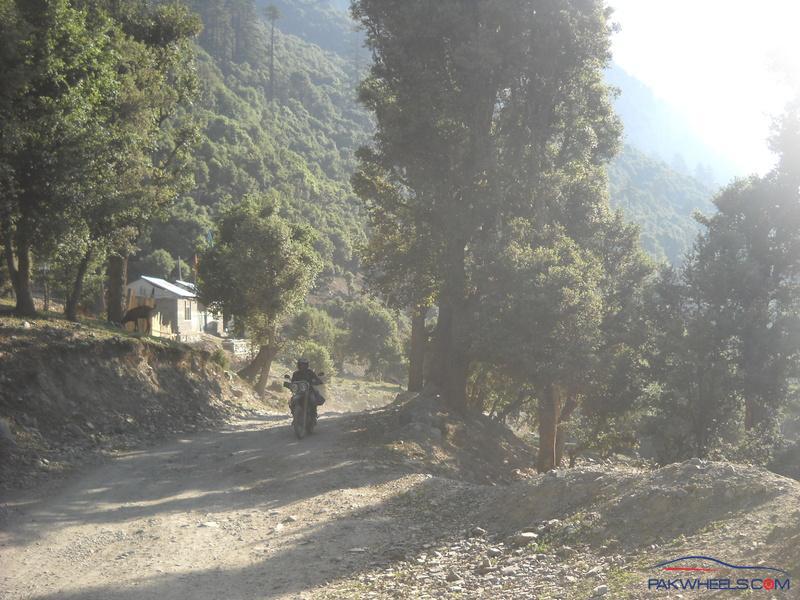
A photogenic section on the Utror track.
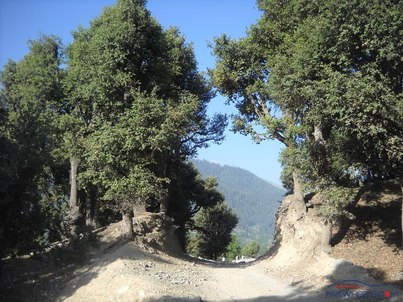
Passed along some wooded sections before arriving at Utror