Assalam u Alaikum,
Ever since my first visit of Neelum valley back in July 2010 the beautiful Neelum valley has always been in my mind. This year I was lucky enough to travel to the most beautiful valley of Azad Kashmir twice. First from 29 June to 2nd July 2012 and then again in Eid holidays from 22 August to 26 August 2012.
Most of the pictures uploaded will be from my Motorbike tour with the exception of Jagran valley and Arang Kel which I visited in my June/July tour and skipped on my bike tour.
Our Rides:
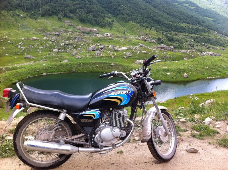
Suzuki GS150 2011 Model
Honda CG125 2011 Model
Honda CG125 2004 Model
Honda CD70 2011 Model
Route Info:
Islamabad-Danna (Roughly 55 KM) (1 Hour)
We took the Murree Expressway and rather then turning towards Murree from Musiyari we went straight and reached Danna.
Lower Topa - Kohala (Roughly 40 KM) (1-1.5 Hour)
The road condition is good. We took the Phagwari route rather than taking the Bhurban-Deval route. Although the Bhurban-Kohala route is shorter but it is more steep and more dangerous.
Kohala - Muzaffarabad (Roughly 34 KM) (1 Hour)
Good road with a few areas affected by landsliding.
Muzaffarabad - Nusehri (Roughly 42 KM) (1.5 Hours)
Very good and newly built road with the exception of a 2km Patch about 10km from Muzaffarabad. Due to heavy rainfall this area had frequent landslides and got closed and cleared throughout the day.
Nusehri -Kundal Shahi- Athmuqam - Keran - Dowarian (Roughly 68 KM) (At least 4-5 Hours)
Very good and newly built road from about 2km past Nusehri to a few KM shy of Dowarian. Absolutely joy to ride and drive.
Kundal Shahi - Kutton (Roughly 6KM)
Not metaled but any car can go to Kutton.
Kutton - Jagran (Roughly 10KM)
Absolutely 4WD track. Recommended is to take a jeep from Kutton.
Dowarian - Sharda (Roughly 32 KM) (1 -1.5 Hour)
It is an old metaled road with a few bad patches but overall a good road. The main problem area is a couple of KM before Sharda the bridge of a Nala is broken and vehicles have to cross the Nala. Not to much dangerous and we crossed it on Mehran as well as bikes and we saw many vehicles like coure, alto, cultus etc. crossing it.
Sharda - Kel (19 KM) (1 -1.5 Hour)
Again the metaled road will disappear and you will be moving over stones/dirt/mud and many water springs. But still any vehicle can make it with careful driving.
Kel - Shounter valley (20 KM) (2.5 - 3 Hours)
Absolutely hardcore 4WD Jeep track. Just after Kel there is a Nala crossing. The original bridge has been destroyed by water but the locals have made a makeshift bridge which requires quite a lot of skills to cross.
Kel - Taobut (43 KM) (2.5- 3 Hours)
Mild jeep track. Any vehicle with high clearance can reach here. We saw many Mehran's and Alto's and one coure reaching Taobutt.
Route Distance Chart:
These distances are very important as there are absolutely no milestones on the Neelum valley road. So for the first comers it can be very difficult to know how much distance is left. With these you can always check your mileage meters for an approximate of distance to next place.
Muzaffarabad - Kel Distances
Muzaffarabad - Nusehri 42KM
Nusehri - Kundal Shahi 32KM
Kundal Shahi - Athmuqam 10KM
Athmuqam - Keran 9KM
Keran - Dowarian 13KM
Dowarian - Sharda 30KM
Sharda - Kel 20KM
Total Distance 157KM
Kel - Taobutt Distances
Kel - Jamgar Waterfall 12KM
Jamgar Waterfall - Janawai 10KM
Janawai - Sardari 10KM
Sardari - Hilmat 4KM
Hilmat - Taoubutt 7KM
Total Distance 43KM
Kel - Shonter Distances
Kel - Nala Crossing 1.5KM
Nala - Nichli(Payeen) Domail 10KM
Payeen Domail - Domail Bala 9KM
Domail Bala - Shonter Lake 5KM
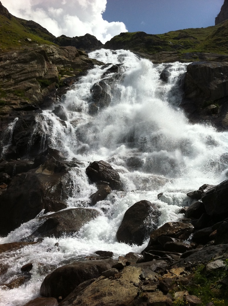
Shonter Lake - Shonter waterfall 3KM
Total Distance 29KM