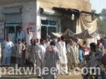
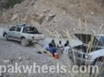
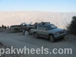
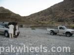
This trip was taken in Nov 2008, I forgot to post earlier and found the folder on my PC only few days back. am posting the GPS coordinates as well for those who wish to search the track using google earth / google maps, The trip started from Sukker on the highway, after that the trip took the otherway round.
a. North - 27.51.020 East - 067.54.205
-
b. N20.01.444 E067.29.176
-
c. N29.01.229 E067.24.104
-
d. N27.59.59 E067.22.887
-
e. N27.59.920 E067.22.212
-
f.N27.58.311 E067.79.112
-
g. N27.41.594 E067.07.000
-
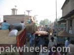
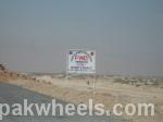
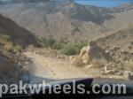
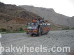
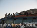
The area is without any traffic, one bus in each direction goes every day. Khuzdar - Shahdadkot - Sukker & Vice versa.
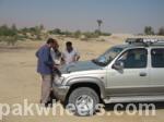
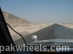
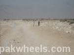
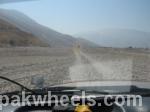
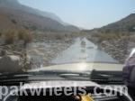
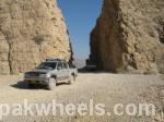
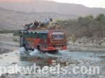
There is zero communication as the area is valley between Sindh & Balochistan, nothing available whatsoever onway, no fuel station, no puncture wala once leaving the shahdad kot the area goes around Bayraja Peak on the right bank of Indus river commonly known as RBOD the stretch is approx 480 Km but takes approx, 12 hours in a 4 x 4. NHA is builidng a highway half gravled track was complete when trip was taken, Nov. 2008, rest was in progress.
Those who wish to take trip I advise in travel in Group, with enough water supply a Tough Two line and extra pair of wheel, -
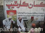
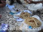
Calm pleasent friendly approach to any human on way is the right way to ask for help, wave a friendly gesture even if you are not in need of help.
Those who STOP you offer then glass of water which will open the friendly approach.
Cheers! - more trips to come when summer end,


