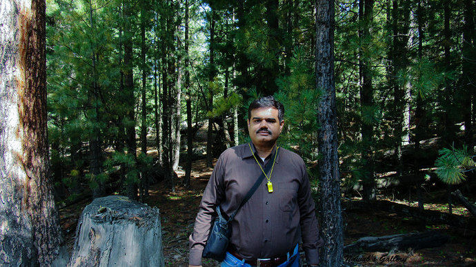
Day 2: Chilas to Fairy Meadows:
The 2nd day was a very exciting day for us, as we will be travelling to our destination, Fairy Meadows. The route to Fairy Meadows is in three steps, 1st till Raikot Bridge on Karakoram Highway, then in 2nd step Jeep ride to Fairy Point on Nanga Parbat Mountain and then the 3rd and final step is a long trek to Fairy Meadows.
We woke up early in the morning, packed our luggage and got downstairs for breakfast. Before we moved downstairs, my friend called me and informed that he will be coming to pick us and will drive us till Raikot Bridge as we should hurry since the route to Fairy Meadows is very long.
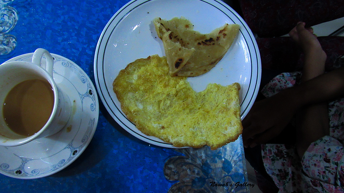
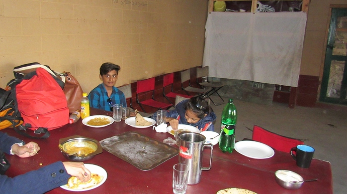
We ordered Parathas, Omelet and tea for breakfast and before we finish off our breakfast my friend arrived and began keeping our luggage in the trunk. Directly after eating our breakfast we ride in the car and started travelling toward Raikot.
We cut across the primary market of Chilas and then we go through the residential area of Chilas. This is the first time we see the Chilas main city and found out that Chilas is a great township with many houses, workshops and farmlands. Most of the people of Chilas are farmers and one can see many harvested lands and garden all around, this makes this part of Chilas very beautiful.
Crossing Chilas town we join back the Karakoram Highway and now travelling in the direction that leads to Khunjerab Pass, the highest border of the world. But we will simply be travelling till Raikot Bridge as at present we don’t have any plan to visit Khunjerab, as we had visited Khunjerab on our previous trip. You can read about our trip to Khunjerab on my travel log “From South End to the North End of Pakistan”.
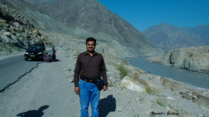
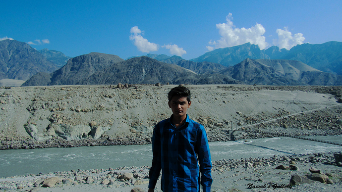
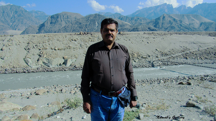
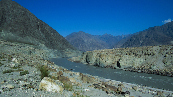
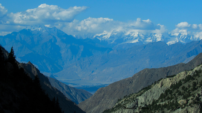
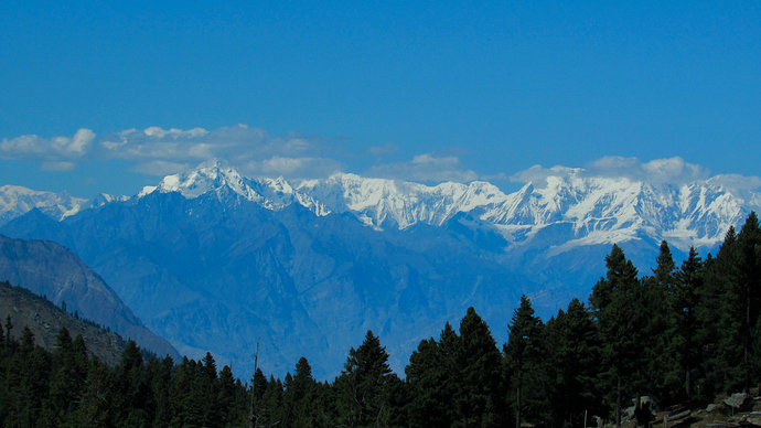
We were travelling on Karakoram Highway Chilas on our right-hand side and River Indus on our left-hand side. With the length of approximately 3,200 km (2,000 miles), Indus River is one of the longest rivers in Asia. It flows through Pakistan, India, China and Western Tibet. Originating in the Tibetan Plateau in the vicinity of Lake Mansarovar, the river runs a course through the Ladakh region of Jammu and Kashmir, towards Gilgit and Baltistan and then flows in a southerly direction along the entire length of Pakistan to merge into the Arabian Sea near the port city of Karachi in Sindh. It is the longest and national river of Pakistan.
The route to Raikot is rough terrain and the weather was too hot outside the car. Along the Karakoram Highway, there are small towns, petrol pumps and some tuck shops. We stop at a shop for mobile pop-up and to purchase some snacks and went along our journey toward Raikot. A few kilometers from Raikot we have to stop behind a long queue of traffic and found out that there was a land sliding on the Karakoram Highway in the morning and the road is blocked due to that land sliding. Only we were relaxed to get the good news that heavy machinery is clearing the road and the road will be clear for traffic after 15 to 20 minutes. It was a long waiting line of traffic that includes a large number of trucks but as the road opens they first let all the cars to pass, so our journey starts again after wasting of nearly 45 minutes.
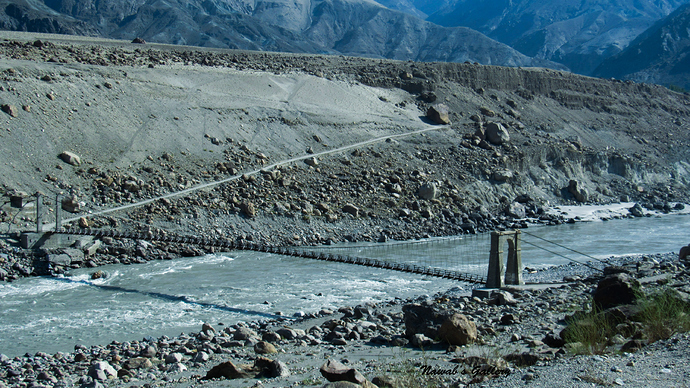
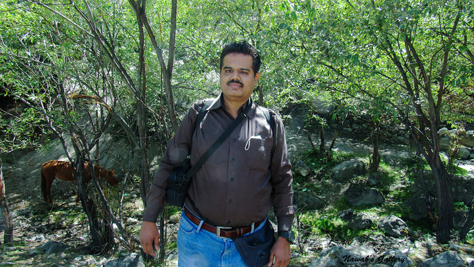
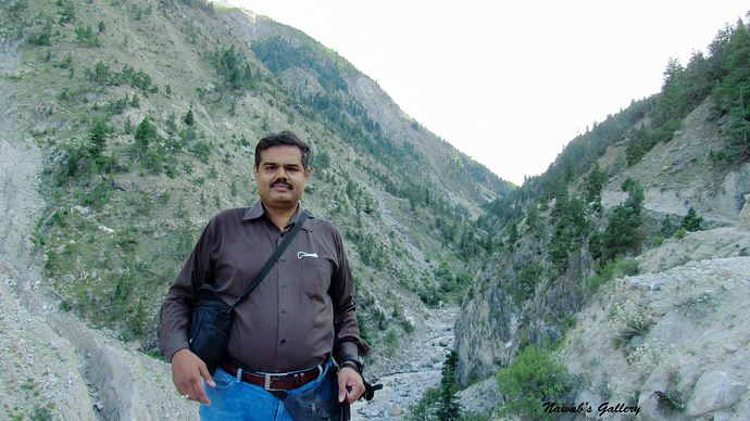
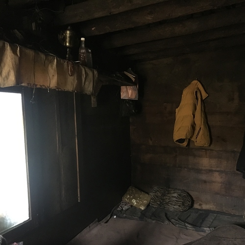
We reached Raikot in nearly 2 and half hours, Raikot is a point from where the 2nd tone of the journey starts and from here one has to depend upon a jeep to travel to Fairy Point. Fairy Point is a place halfway before Fairy Meadows. We cannot take our luggage to Fairy Meadows so dropped our luggage at my friend’s known place, pick our backpacks and ride on the jeep.
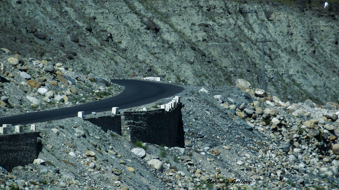
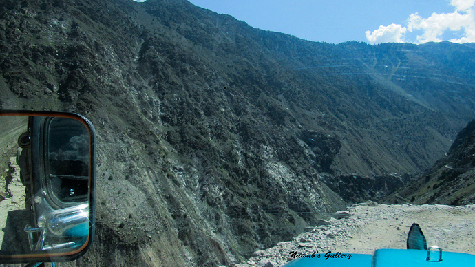
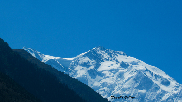
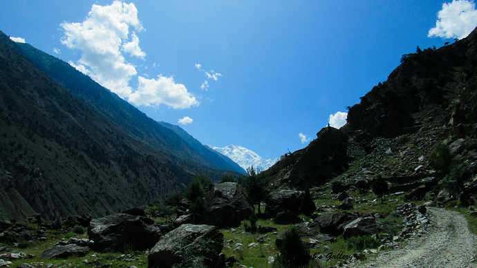
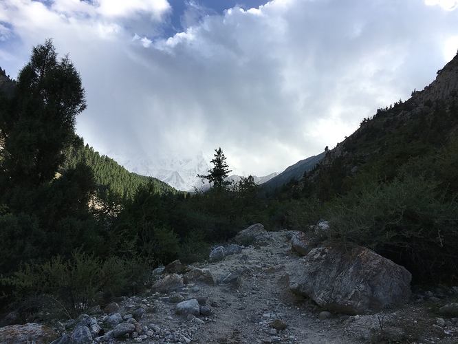
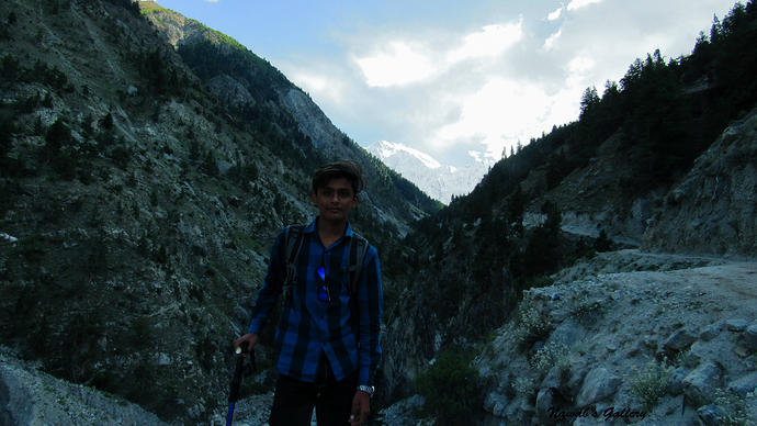
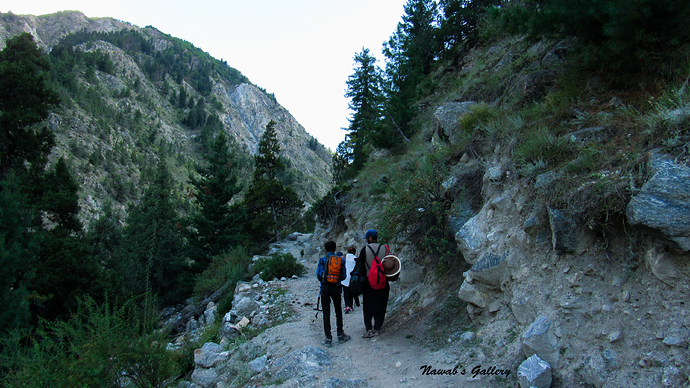
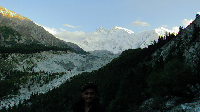
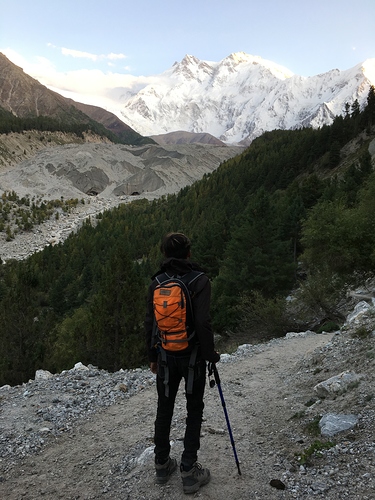
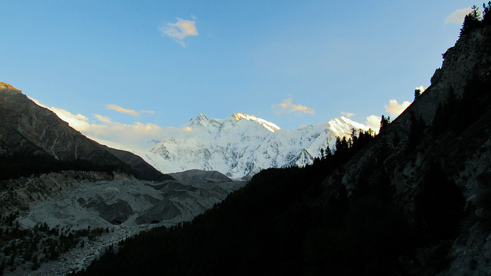
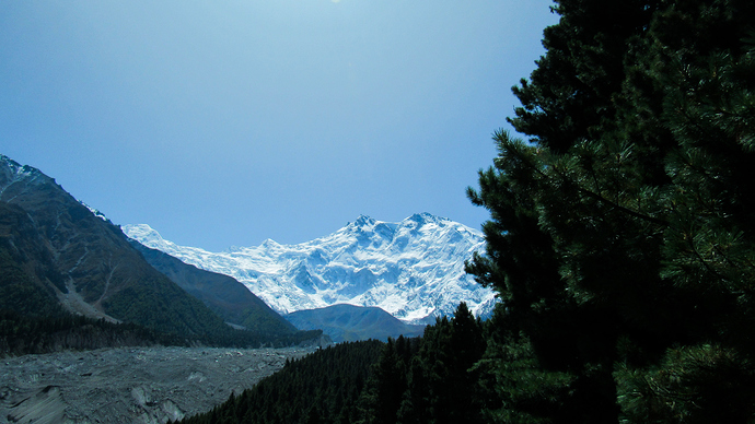
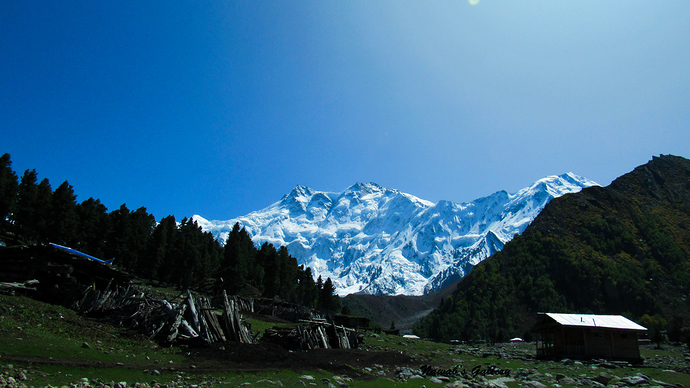
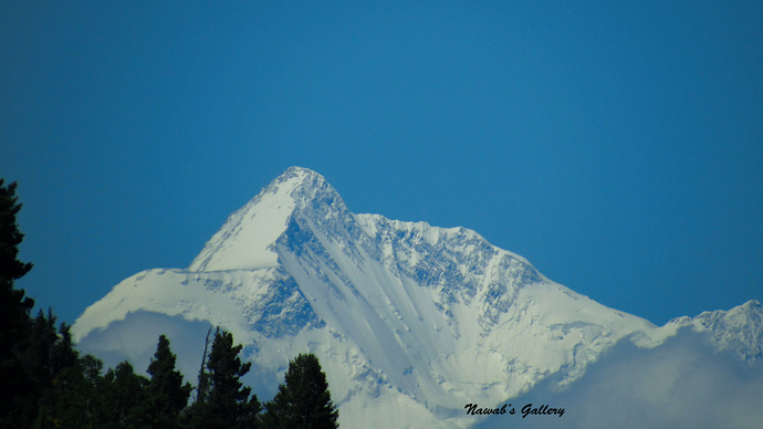
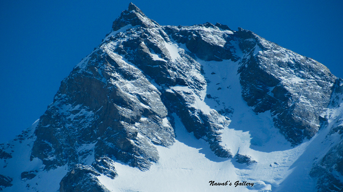
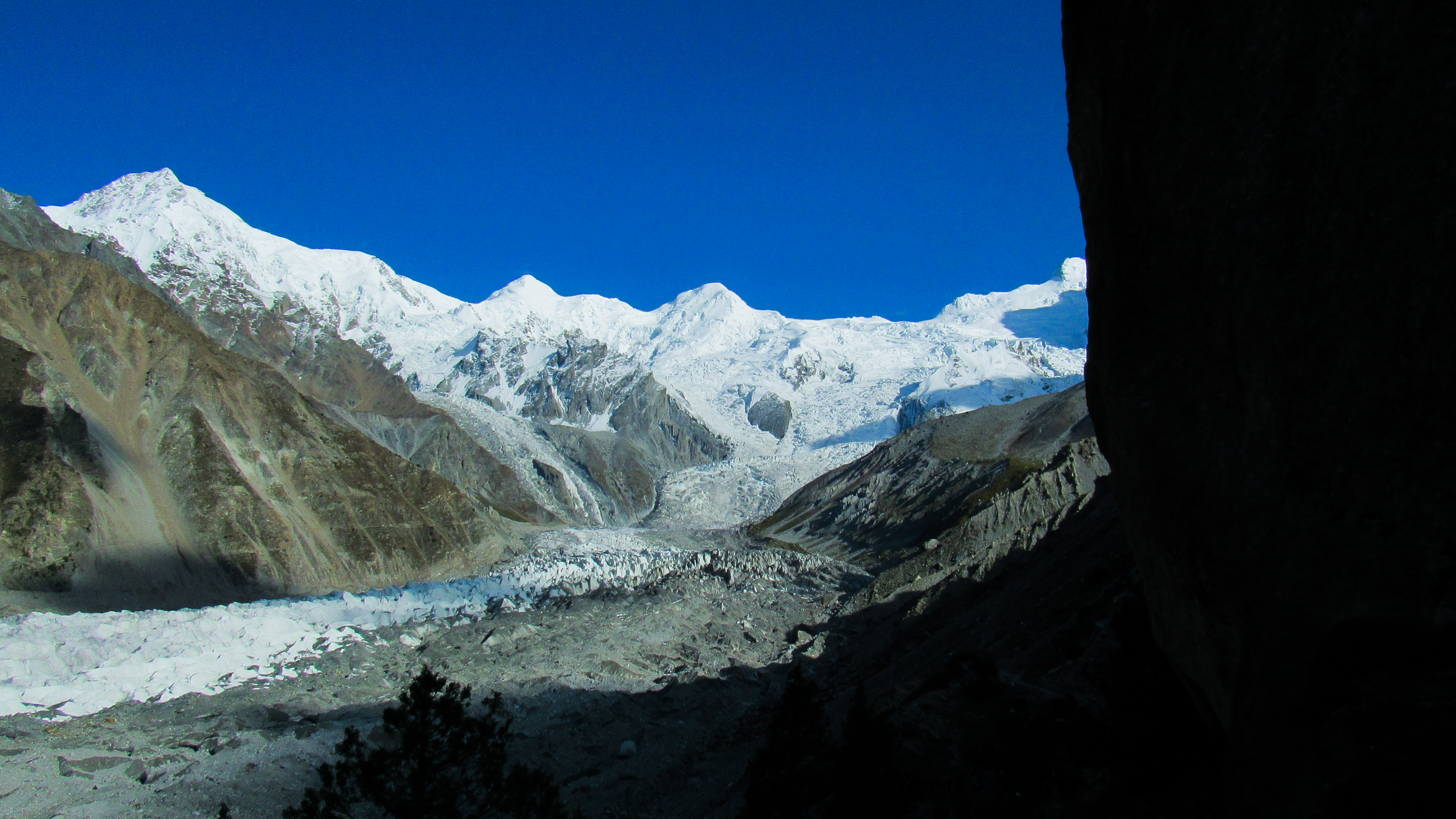
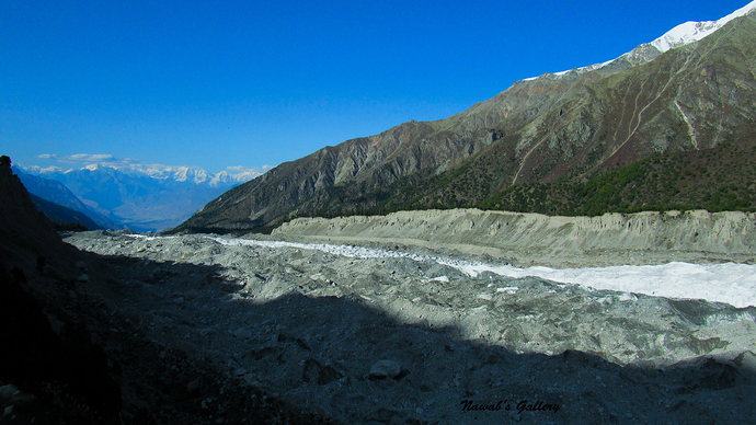
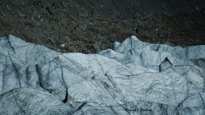
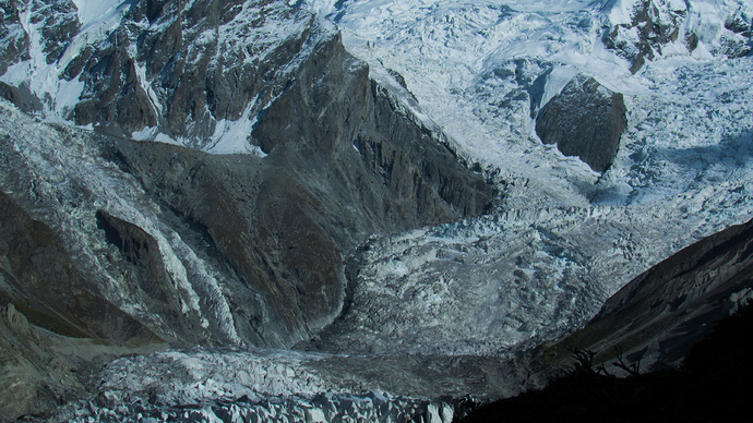
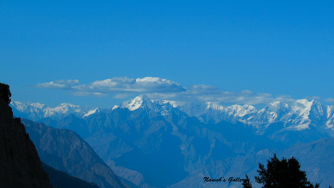
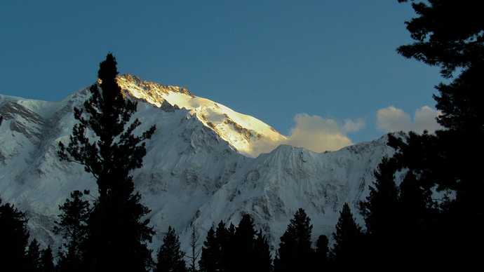
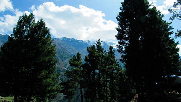
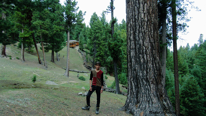
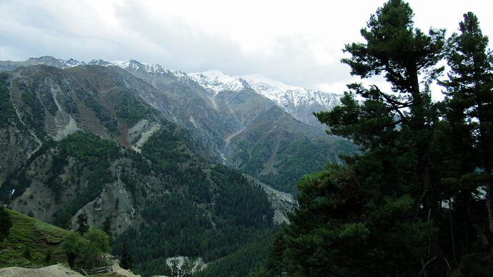
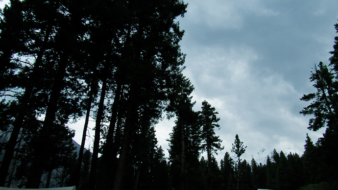
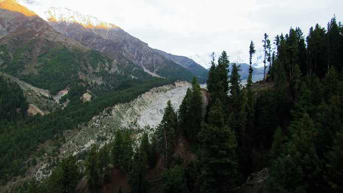
The road to Fairy Point is a very narrow, rough and dirt road, and our journey starts with a lot of jolts and jumps as we start going upwards on the Nanga Parbat Mountain. Every bit we were going up the River Indus and the Karakoram Highway down blow started disappearing slowly. It is a dangerous road, but the excitement to reach Fairy Meadows is giving us courage. It is about 2 hours of a ride with High Mountain on our right side and deep valley along the left. The road is so narrow that only one jeep can go at a time and if another jeep comes from the front then one of the jeeps has to break off at the side of the mountain to give way to the other.
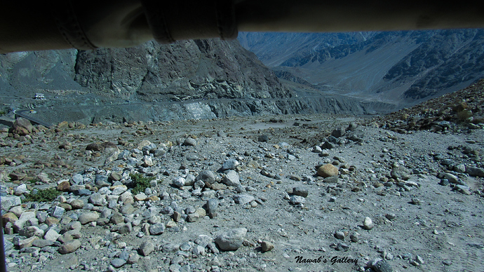
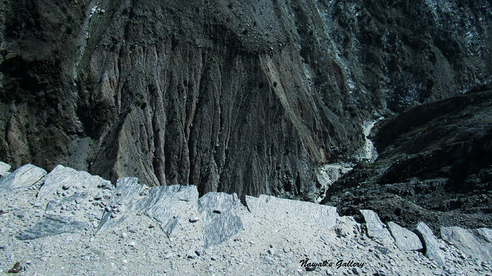
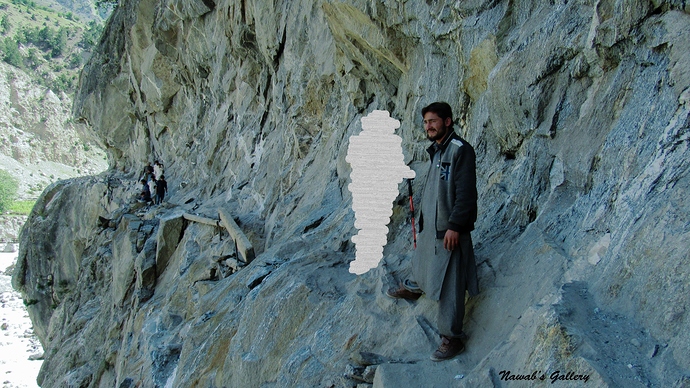
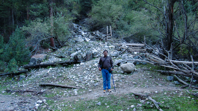
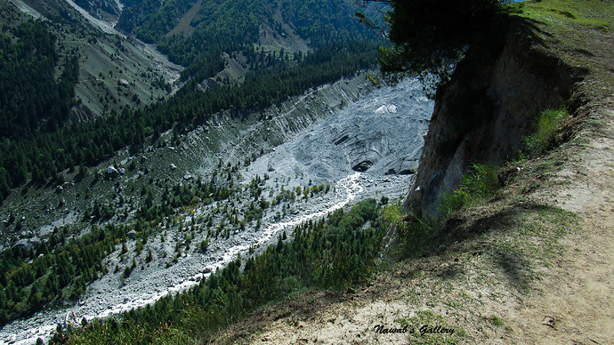
After 2 hours of the drive, we hit a stage where a month earlier there was a land sliding that has entirely ruined the road at that point. This spot is nearly 10 KM from Fairy Point and here one has to get off the jeep and need to walk over a very narrow, rocky and dangerous path, there was a very low fence on the side made by the local residents to provide some safety. The local people at that place were really helpful and they aided us to pass over that dangerous path.
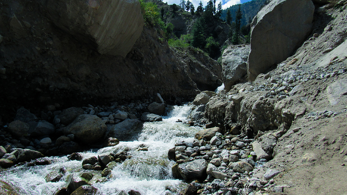
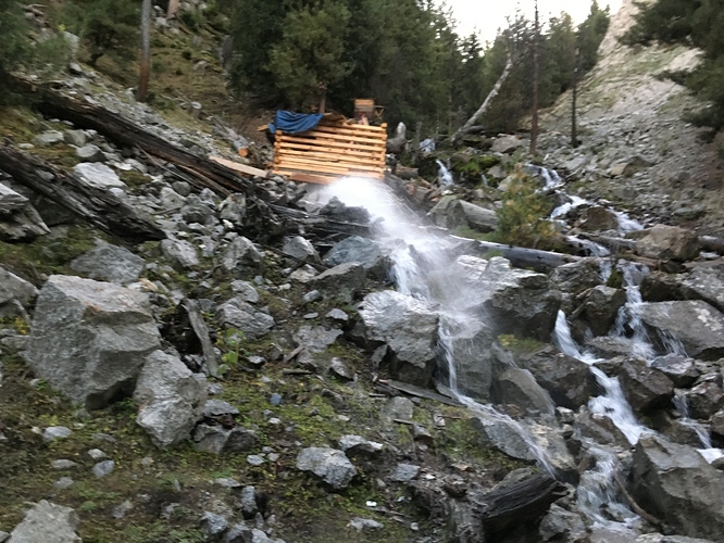
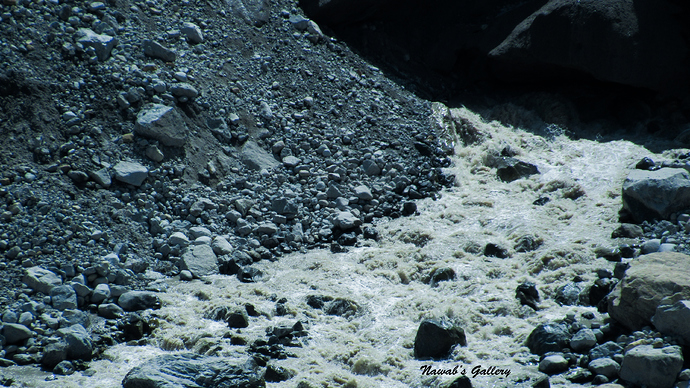
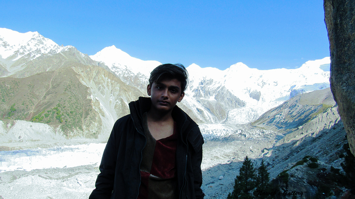
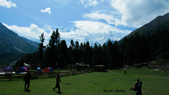
Along the other side, there was another jeep waiting for the passengers to get them to Fairy Point. Then we ride on the jeep and in less than 30 minutes to reach near Fairy Point. The jeep drop us at the edge of a valley and the Fairy Point Hotel is on the other side, once there was a bridge that links both sides of the valley but now it is destroyed and people have to walk down into the valley, cross the water stream and then climb back on the other side to reach Fairy Point Hotel and the trek route of Fairy Meadows.
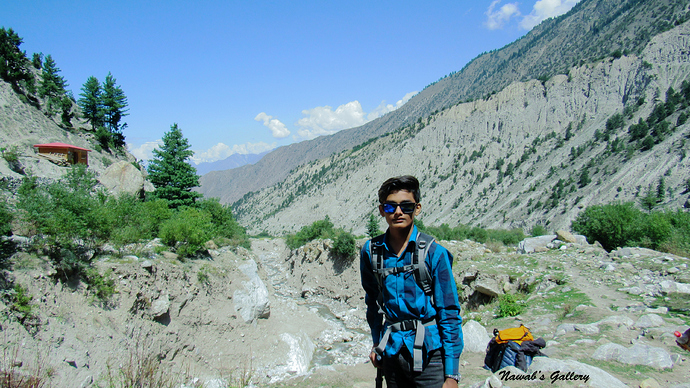
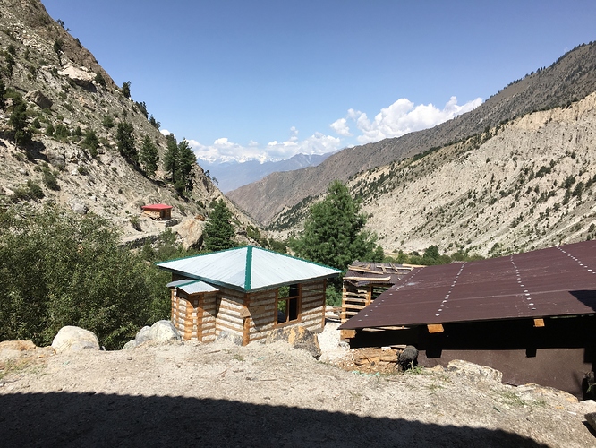
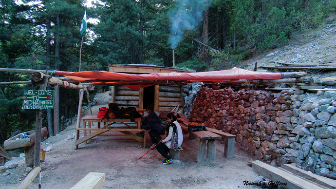
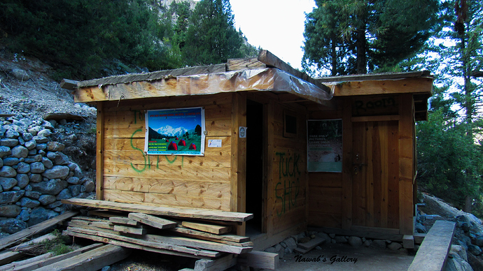
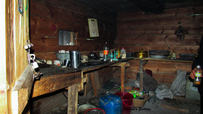
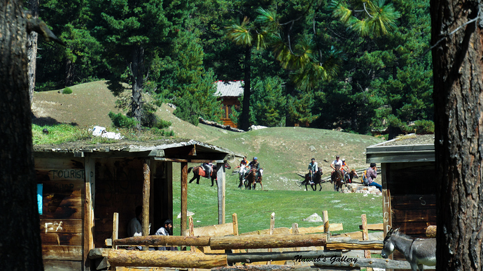
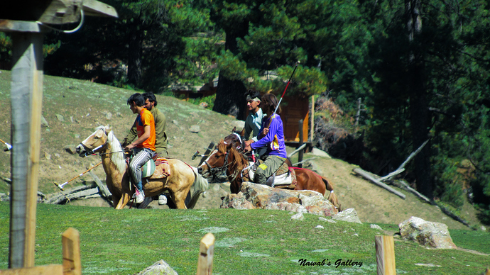
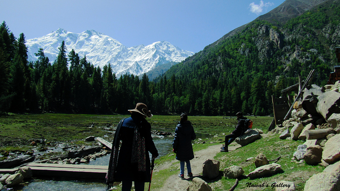
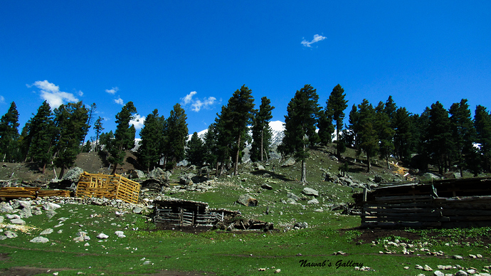
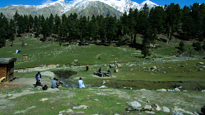
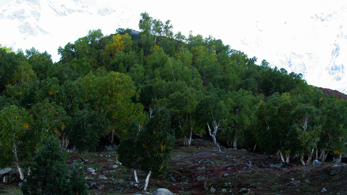
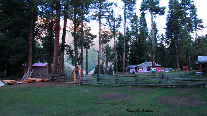
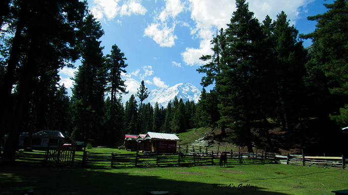
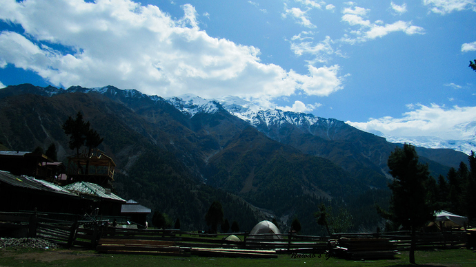
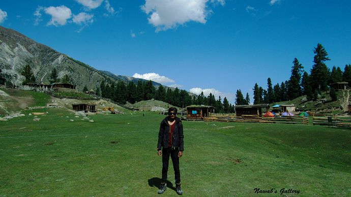
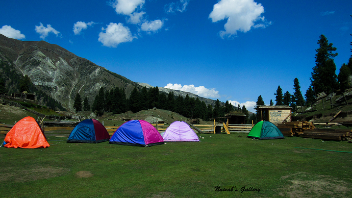
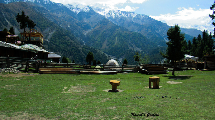
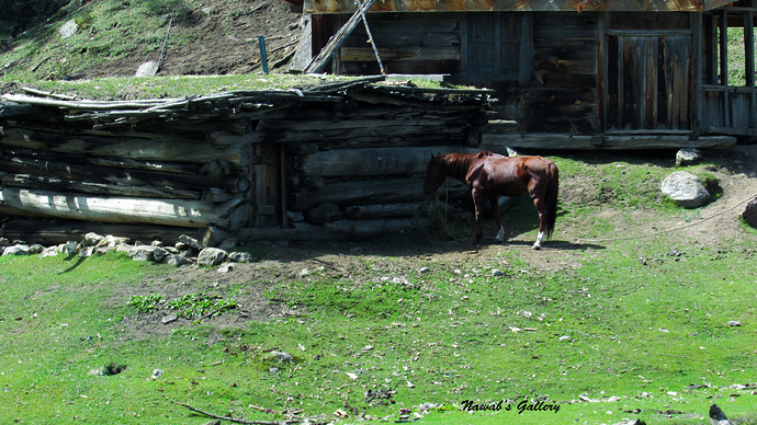
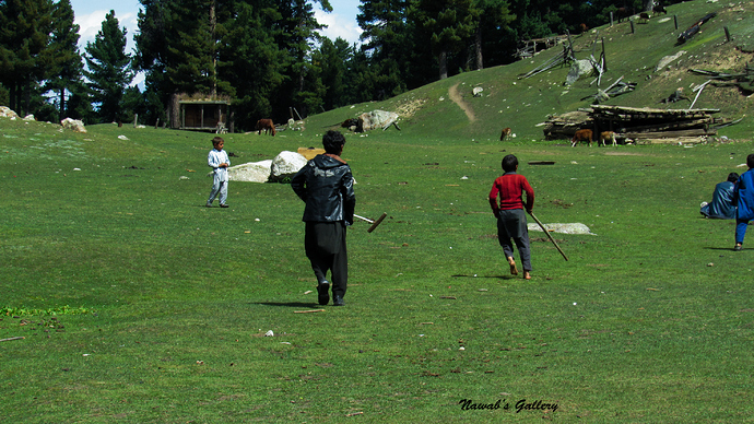
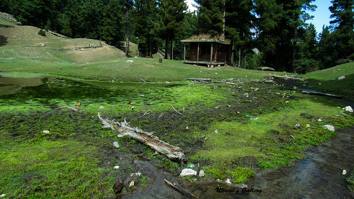
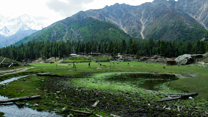
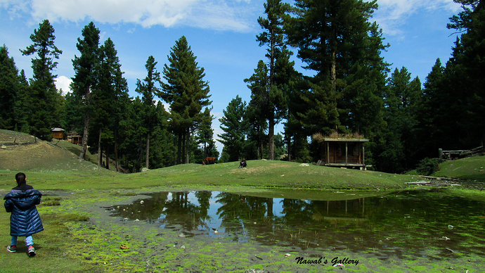
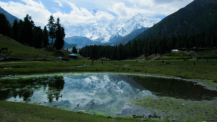
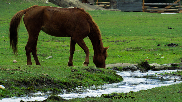
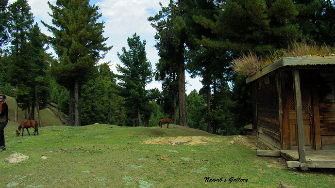
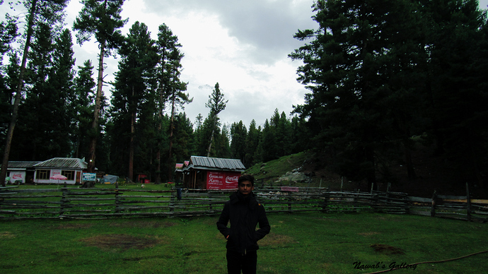
Fairy Point is at Jeel (also known as Tattu, Tattu village is on opposite side of Fairy Point) is a place with a restaurant, a hotel and a mosque. From this point the actual trekking to Fairy Meadows start, where one can hire a porter to carry luggage and can too engage a horse to ride till Fairy Meadows (if one do not want to trek). While we were crossing the stream to reach Fairy Point a boy aged nearly 13 reached us took our luggage and helped my wife and children to cross the watercourse.