Day-3 morning was spent visiting Attabad lake and the landslide site.. it was an altogether different experience. The scale of devastation caused by the massive landslide is unbeliveable. One can't really comprehend the scale of the disaster unless one realy sees it with one's own eyes. The lake is 22 km long and is appx. 300 ft deep at places. Its aqua blue ice cold water is in clear contrast against the jagged and bone dry mountains towering thousands of feet above it. Later in the afternoon, after returning to our hotel and having lunch we visited Eagle's Nest View Point in Duikar village for sunset views of Hunza and Nagar valleys. The panoramas from there were simply mind blowing.
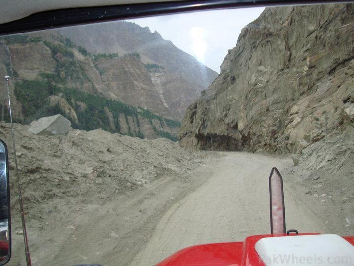
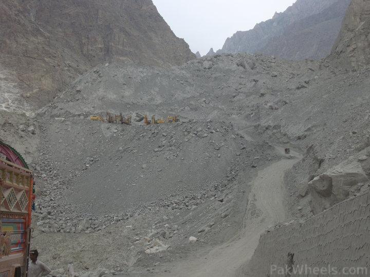
On the way to Attabad lake. This is the condition of KKH these days.
Can you spot the Altit Fort?
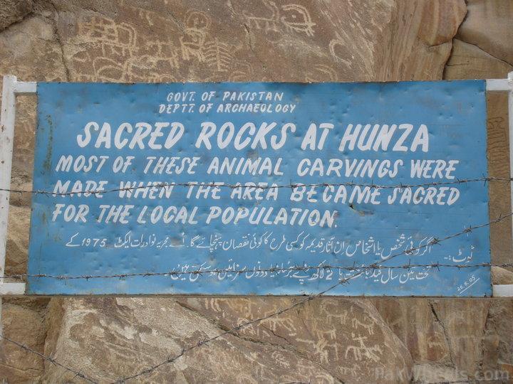
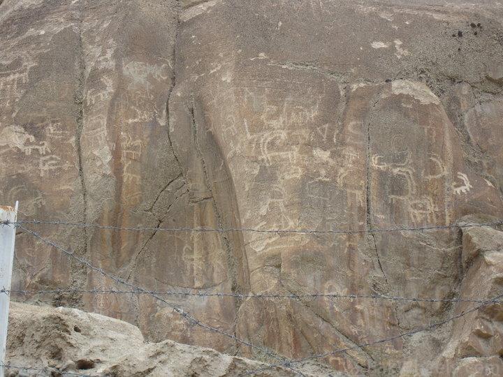
Sacred rocks
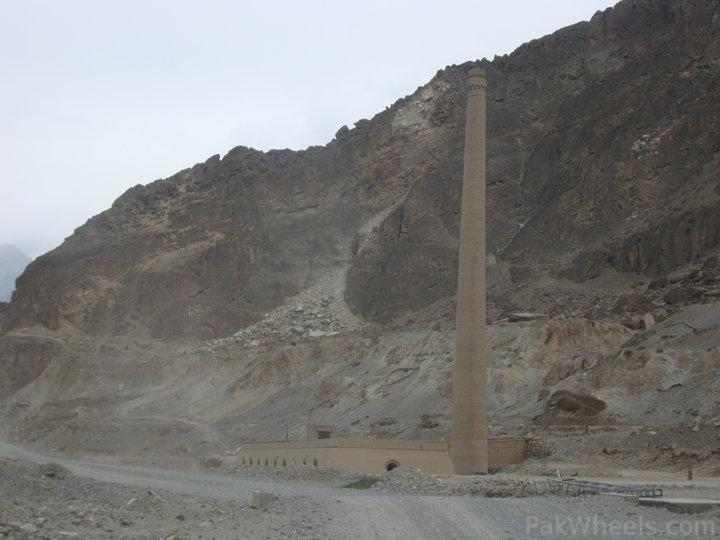
An abondoned brick kiln, originoly built by the Chinese
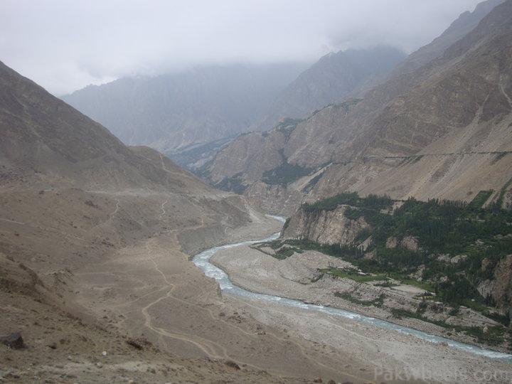
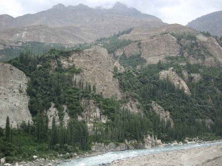
On the way to the lake. Notice the Hunza river looks like a nala from this height.
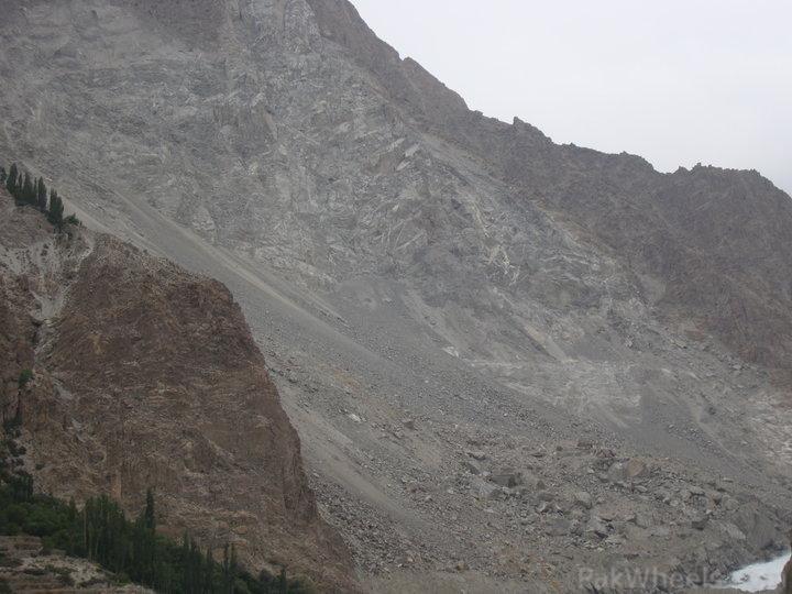
Fresh rock face exposed after landslide.
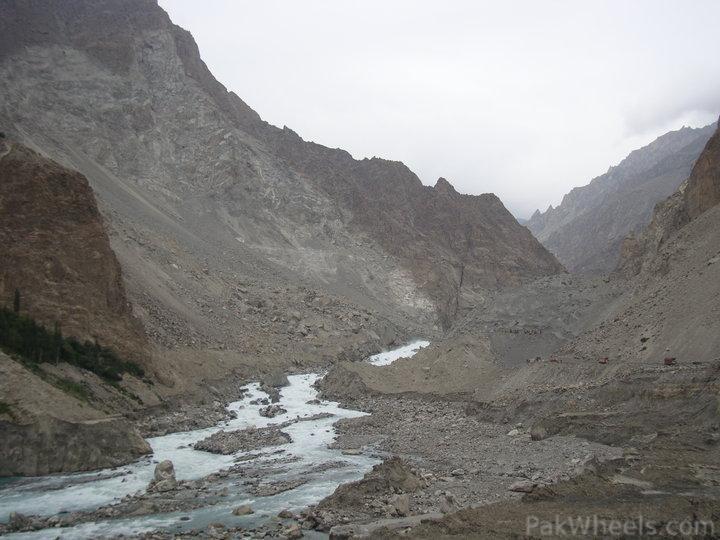
First view of the Attabad lake's spillway
Dirt track going up the landslide debris. Notice the height. It is easily 700-800 ft. All this came from the mountain on the opposite side of the river and then went up the right bank. Simply mind bogling.
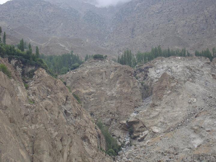
Attabad Bala (Attabad Upper) village that was devastated by the landslide. You can see some buildings that remain on the top of the mountain in the upper right corner of this pic.
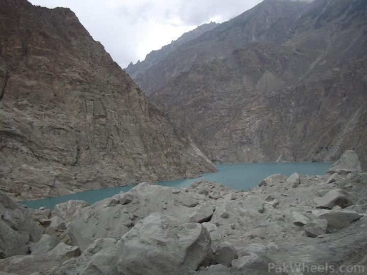
First view of the mighty Attabad lake.
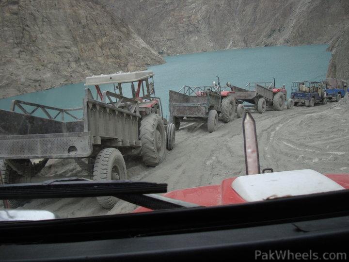
Descending towards the blue monster. Notice the dirt on tractors. This dirt was like volcanic ash and was everywhere. It stuck itself to everything and anything.
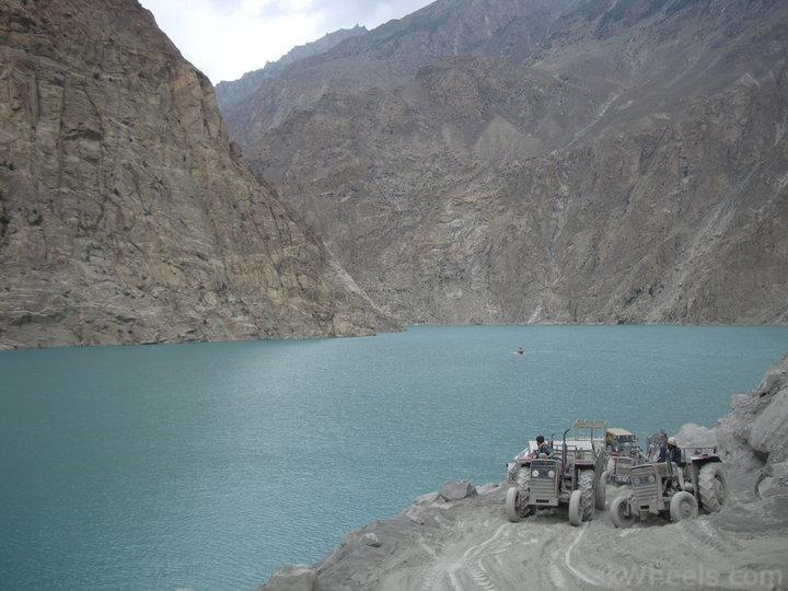
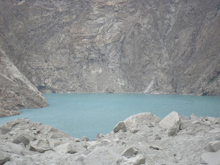
The blue monster
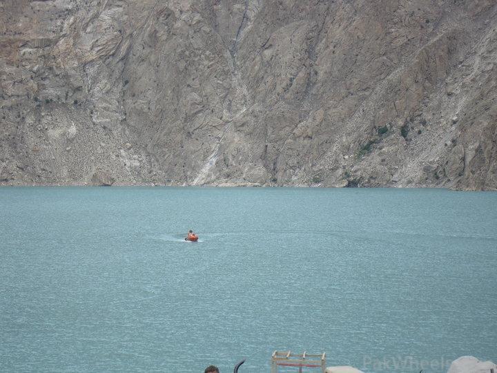
Our ride. NATCO covered boat.


