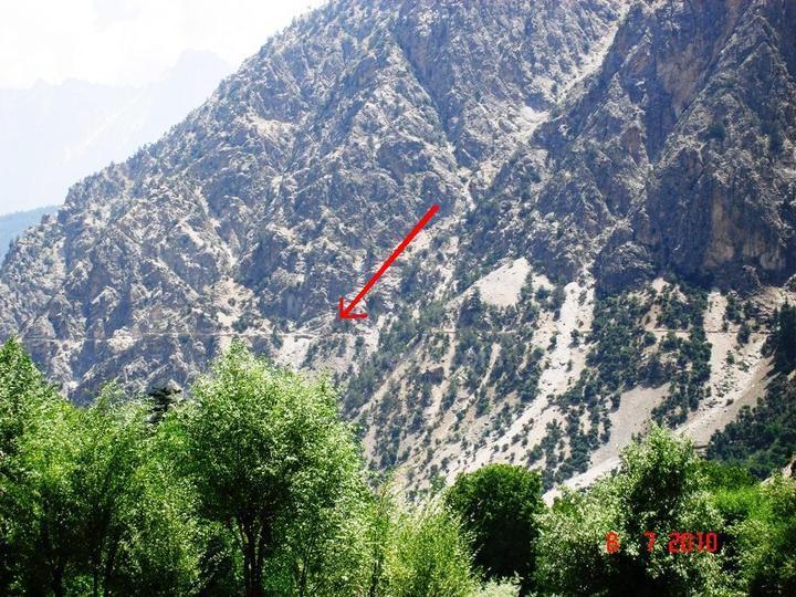
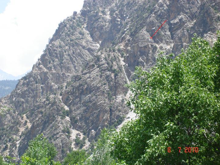
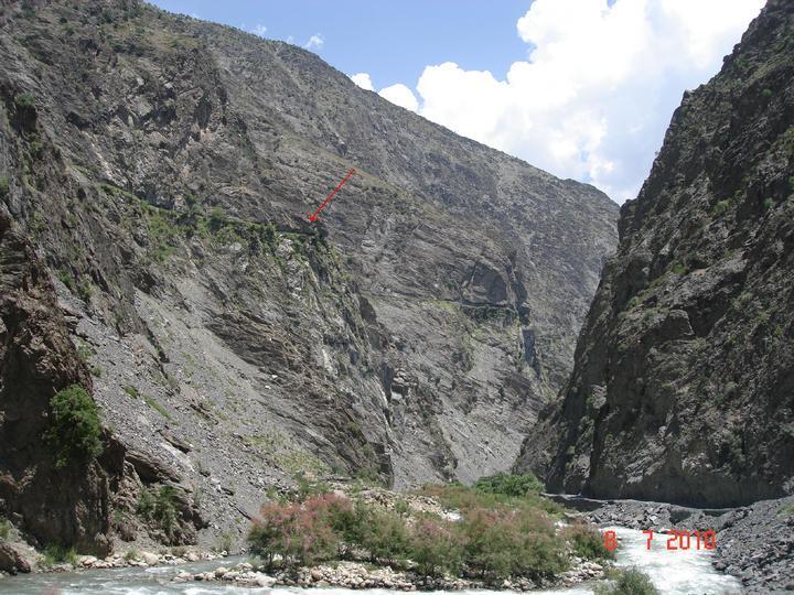
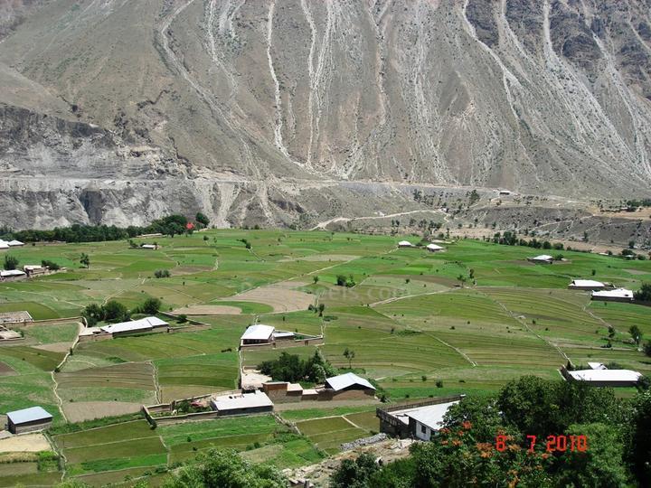
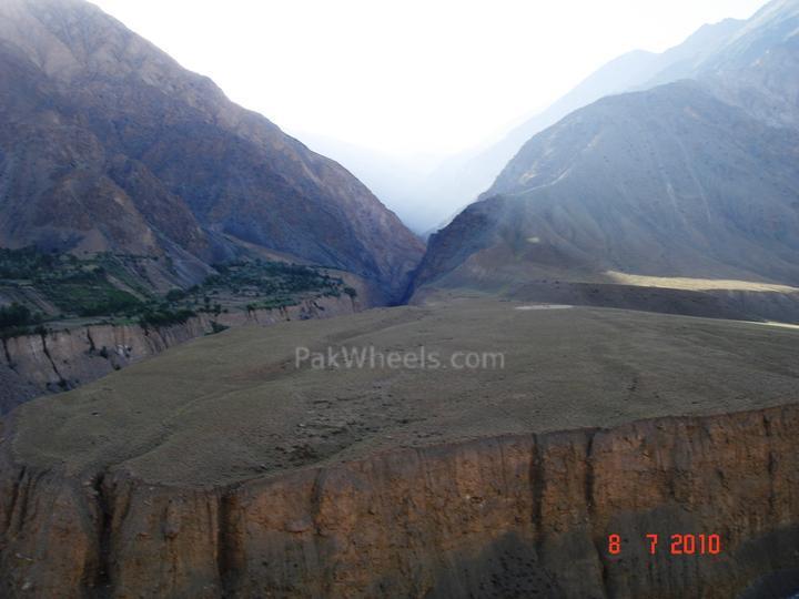
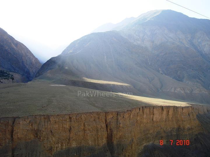
Water supply channels..... these are dug through sheer manpower and no machinces involved and generally run for Glaciers at height to approx 15-20 kms supplying water to a village that has no access to fresh water.
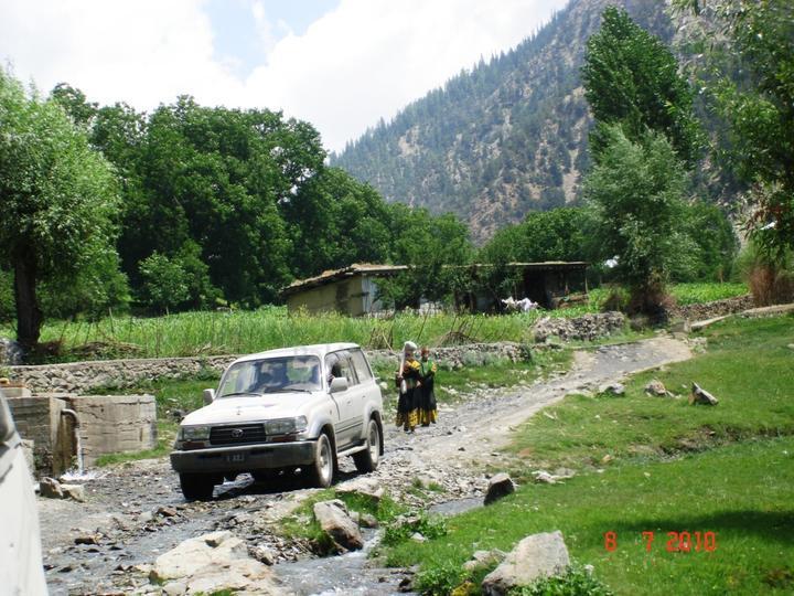
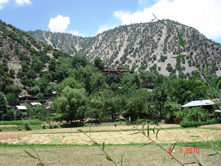
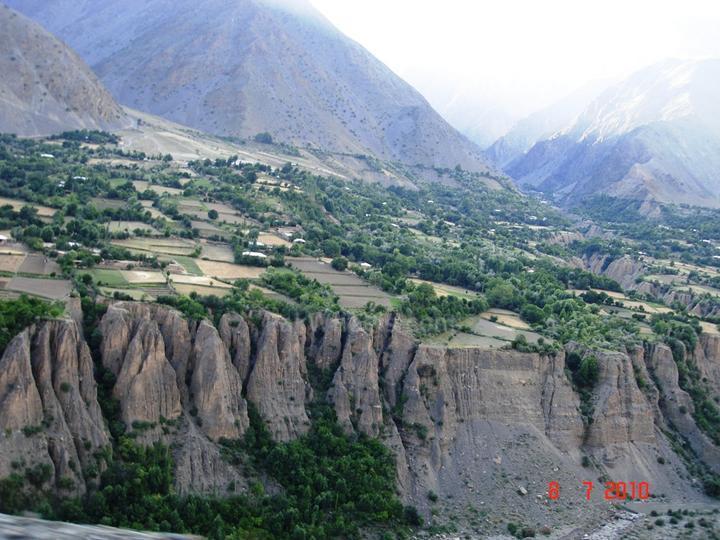
Ayun..... gateway to Kalash...
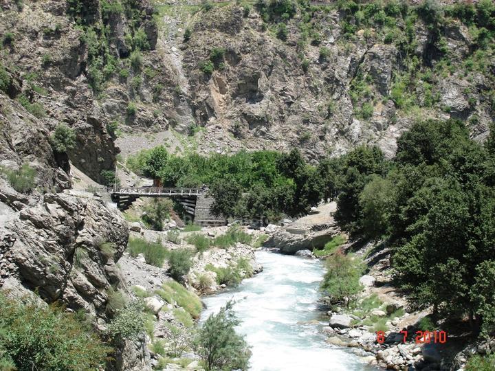
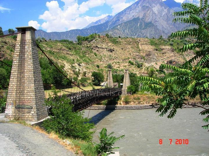
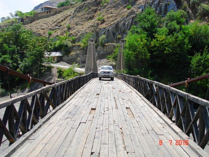
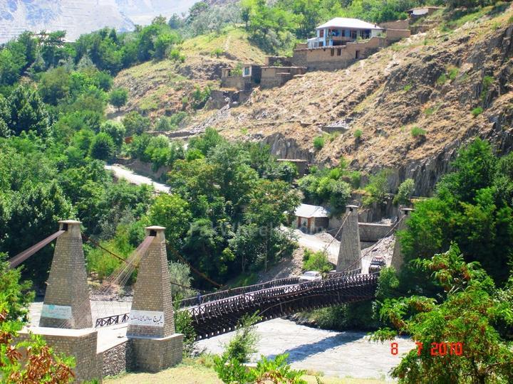
Bridge linking Kalash valleys and road to Chitral...
wah ji wah..zaberdast....
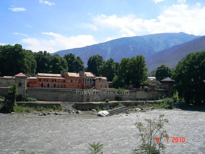
Mehter(ruler) Chitral Fort....
great going asad bhai, lovely additions
@nn cotec chargedwaiting for more..
@skgr8 shots
good to have many different perspectives in one thread.
Brilliant pics.....Waiting for more!!!!!!!!!!!!!!!
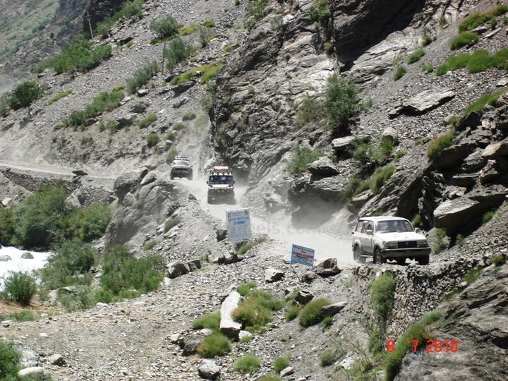
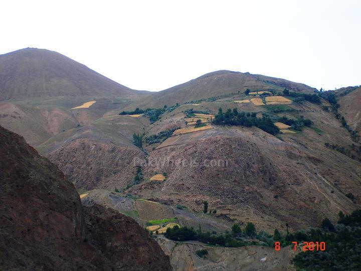
some random pics on way to Booni, Mastuj and Shandur...
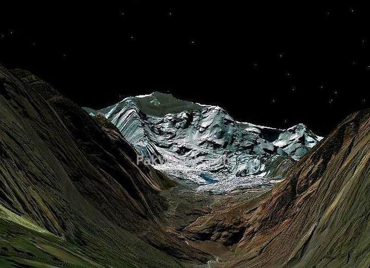
@nn: Many thanks for this amazing shot....apart from the aesthetics since I knew where you took the pic it proved to be very useful in calibrating the settings on my Google Earth namely the elevation exaggeration which works best between 1.2 - 1.5:
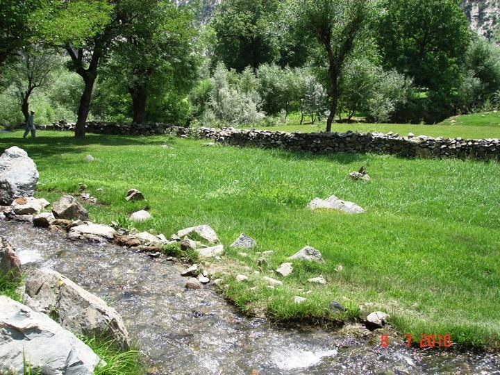
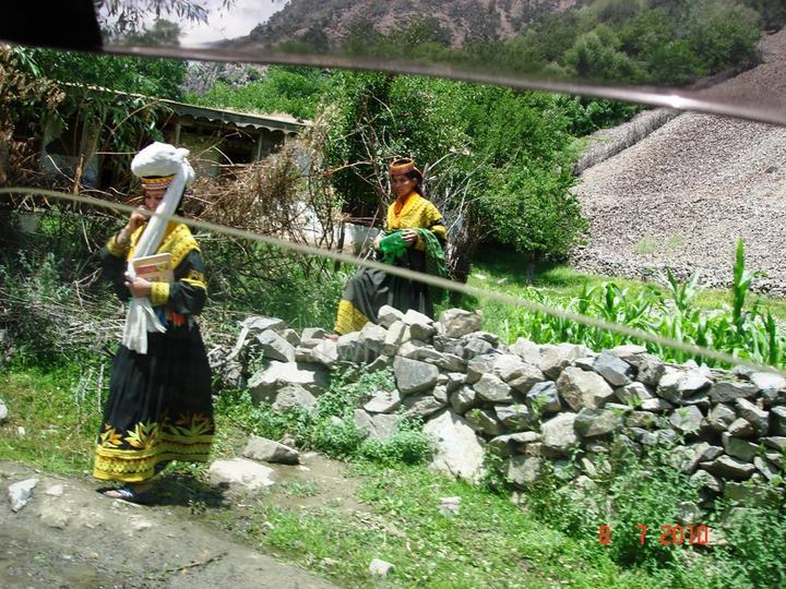
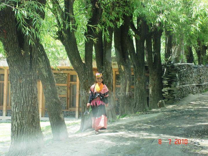
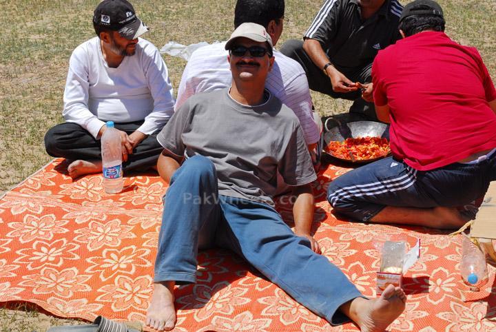
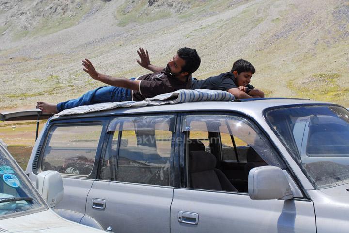
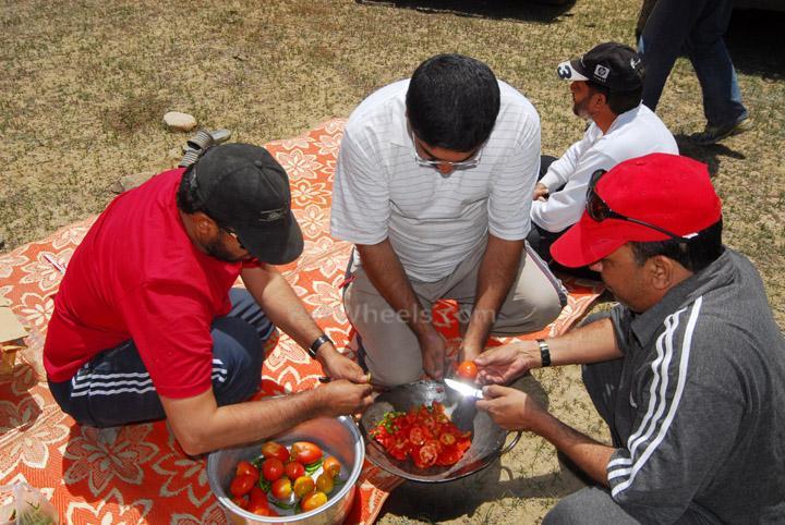
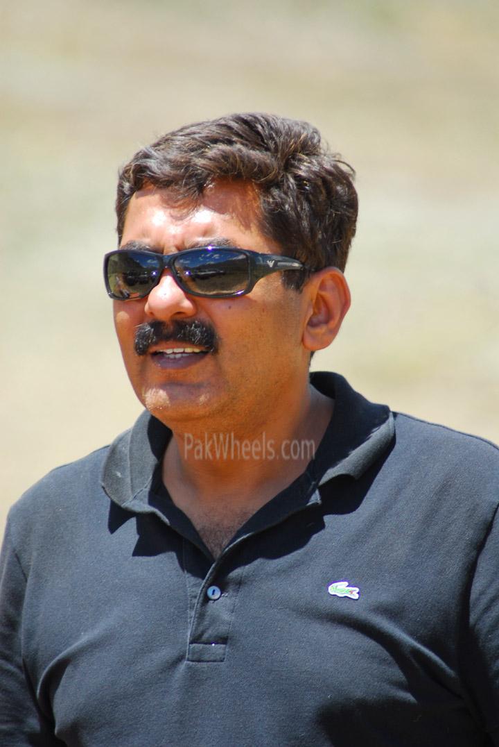
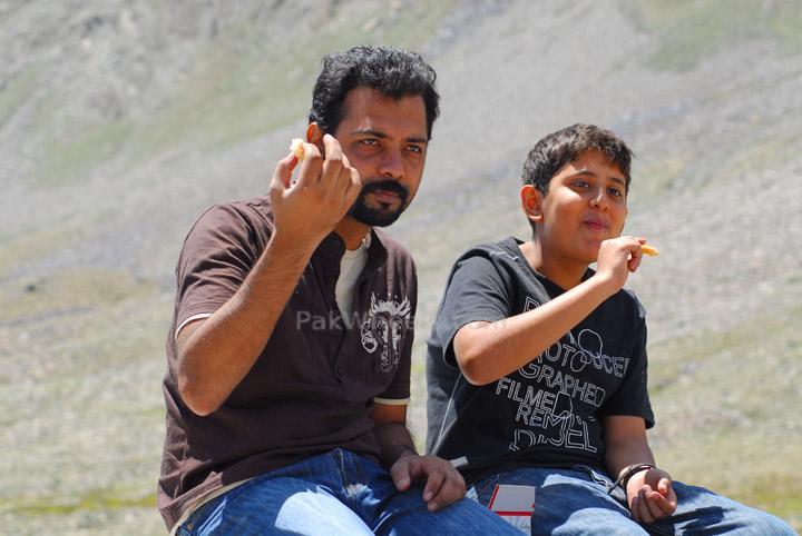
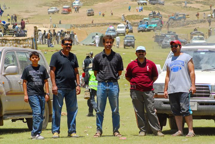
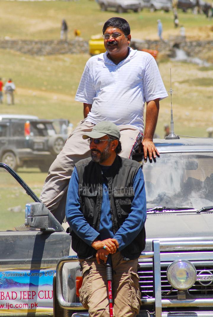
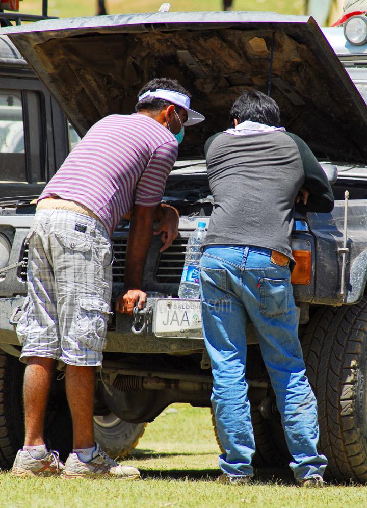
Some random shots of PEOPLE in summer camp.
Can't match the narrations of SK, Redbull n others
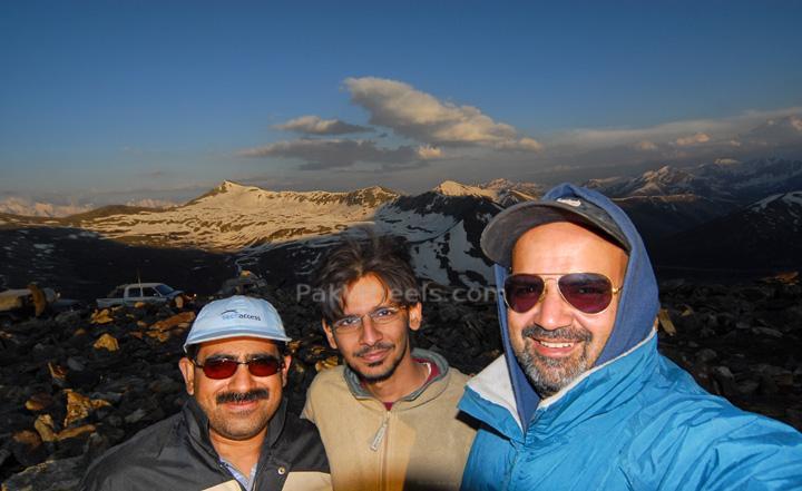
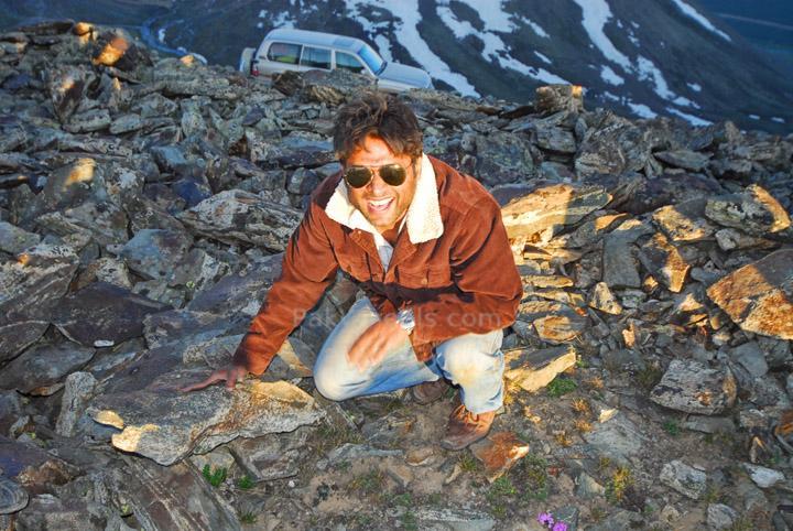
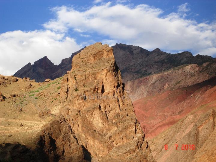
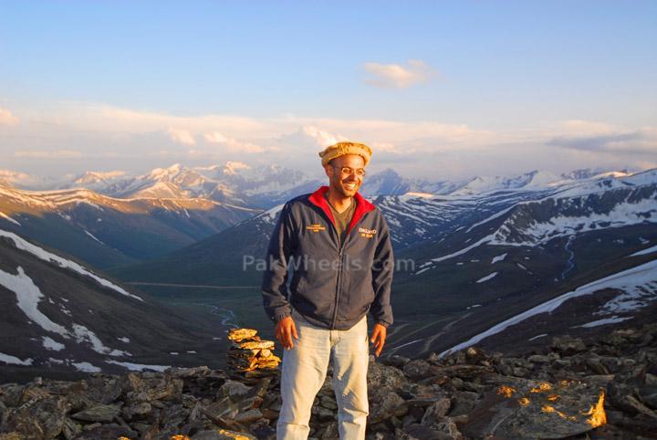
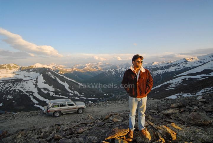
Starting with some shots from Butogah Top
t
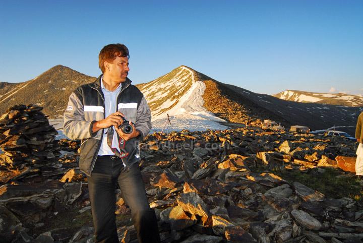
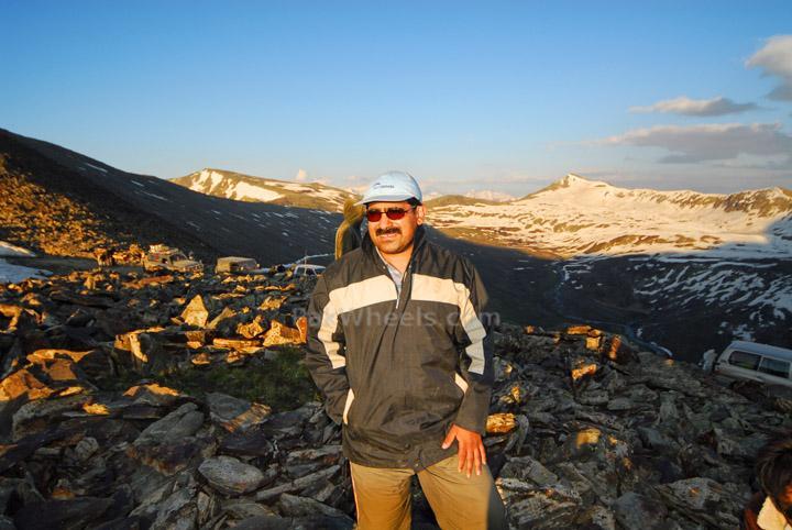
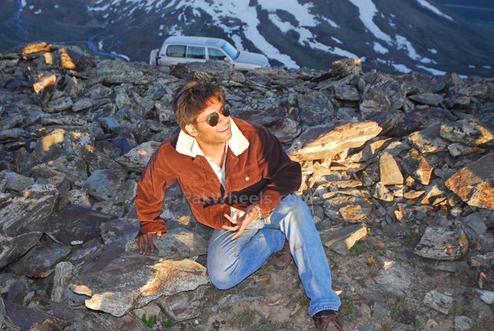
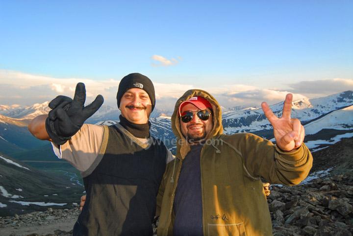
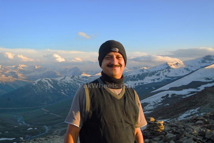
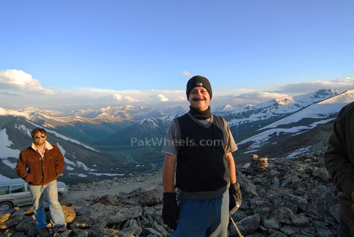
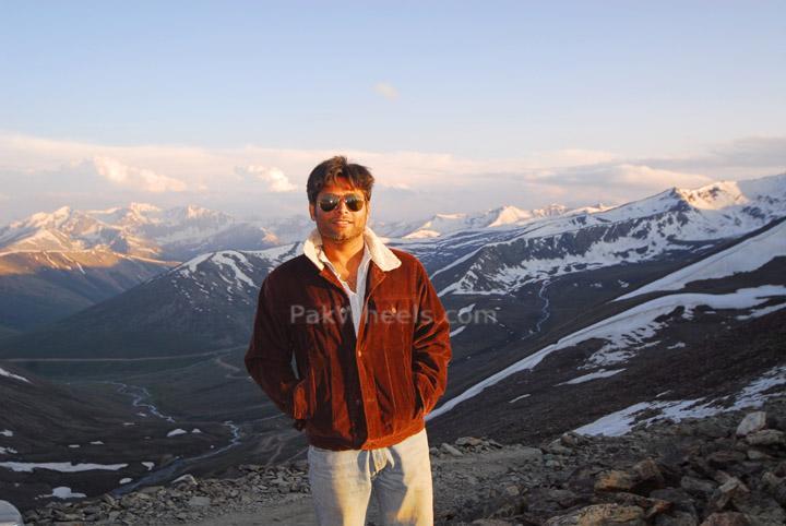
Some more from Butogah Top.
y
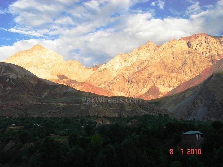
Now some from Shandur Top
More from Shandur Top