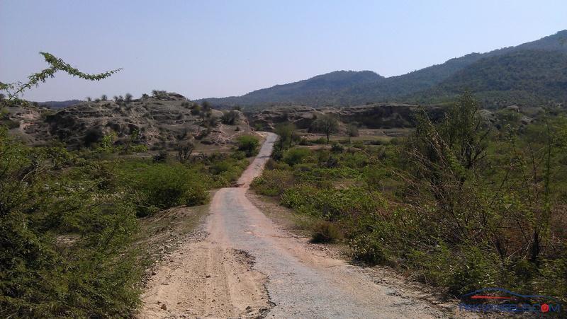
You can have an idea of the road condition from road pictures
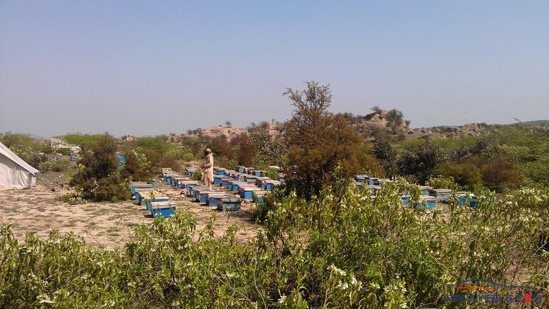
Honey Bee Farm on the roadside
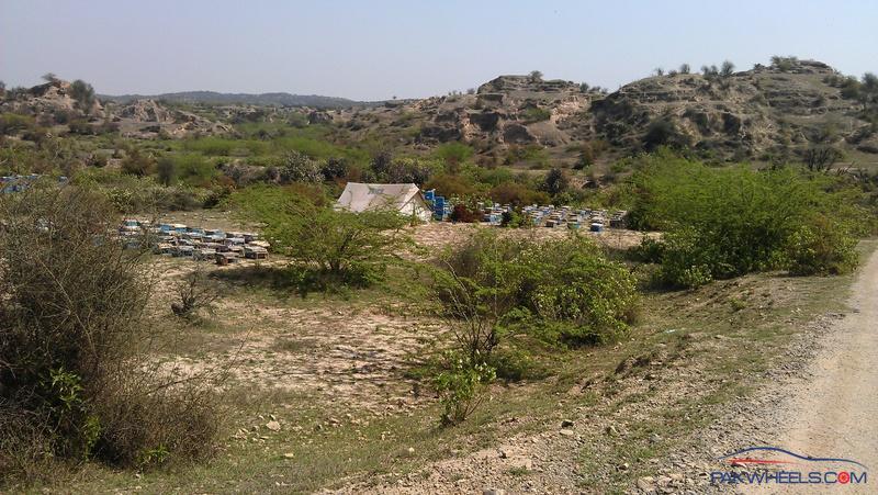
We have seen couple of these kind of honey bee farms along the road.
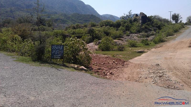
This road goes towards the top of the village, from where a trek starts which leads you to the top of the hill..
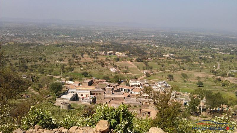
A view of Baith Village.
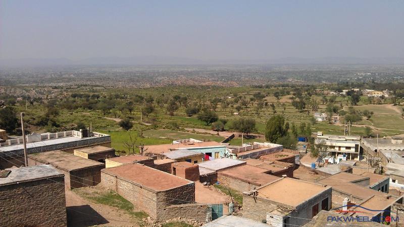
We reached at the top of the village at this place from where you can have a view of Bhait village and can see the entire view of Domail side and surroundings, this is a wide open space beside a mosque, from where a trek start that goes to the top, we spend 10 to 15 minutes at this place, took pictures and have some sandwiches that we took from home with us.
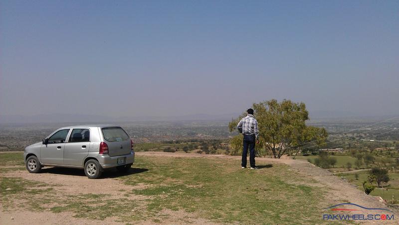
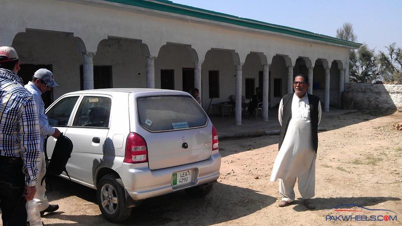
We can park our car at that place, but we need a secure parking place for our car, so we drove down and search the Haveli of that person which was informed to us by BABA jee who met us near Rohtas.
We parked our car, take our stuff (Food / Water cameras / portable cell phone charger etc) get some information about the trek and tilla from the owner of that haveli and left from there around 01:30 PM towards the top of the hill.
there is a suggestion for those who will go there, they should take enough water and other eatable things with them, as there is no water on the way and on the top, so you need to take it with you.
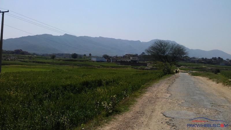
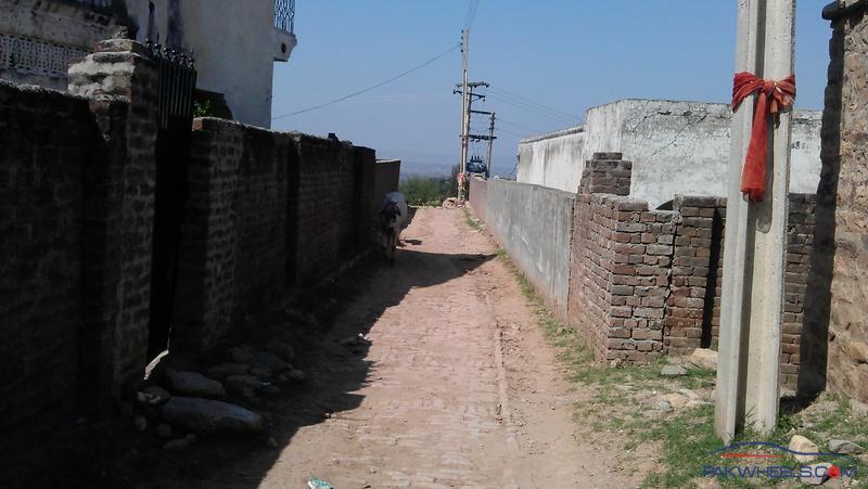
Passing through the village streets towards the trek.
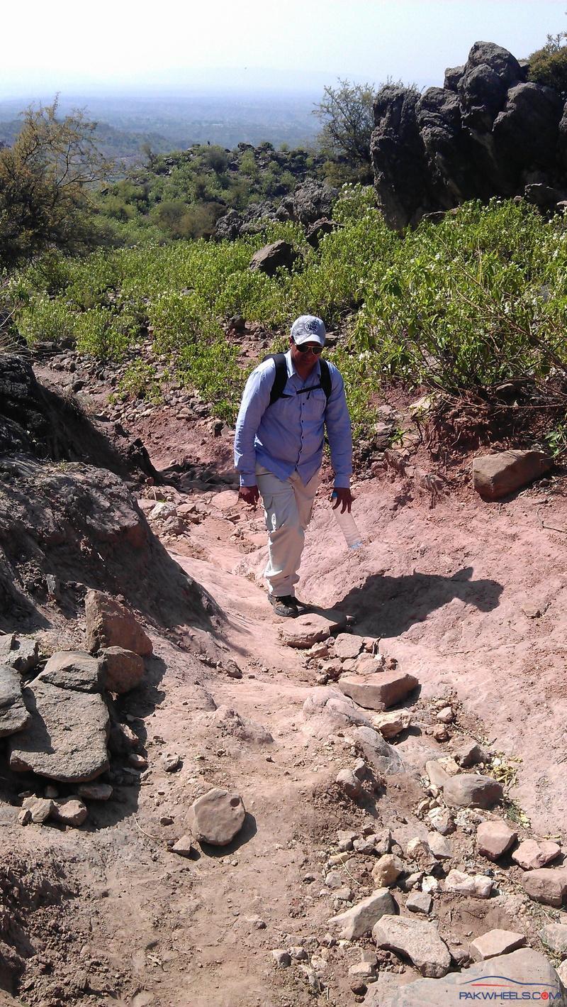
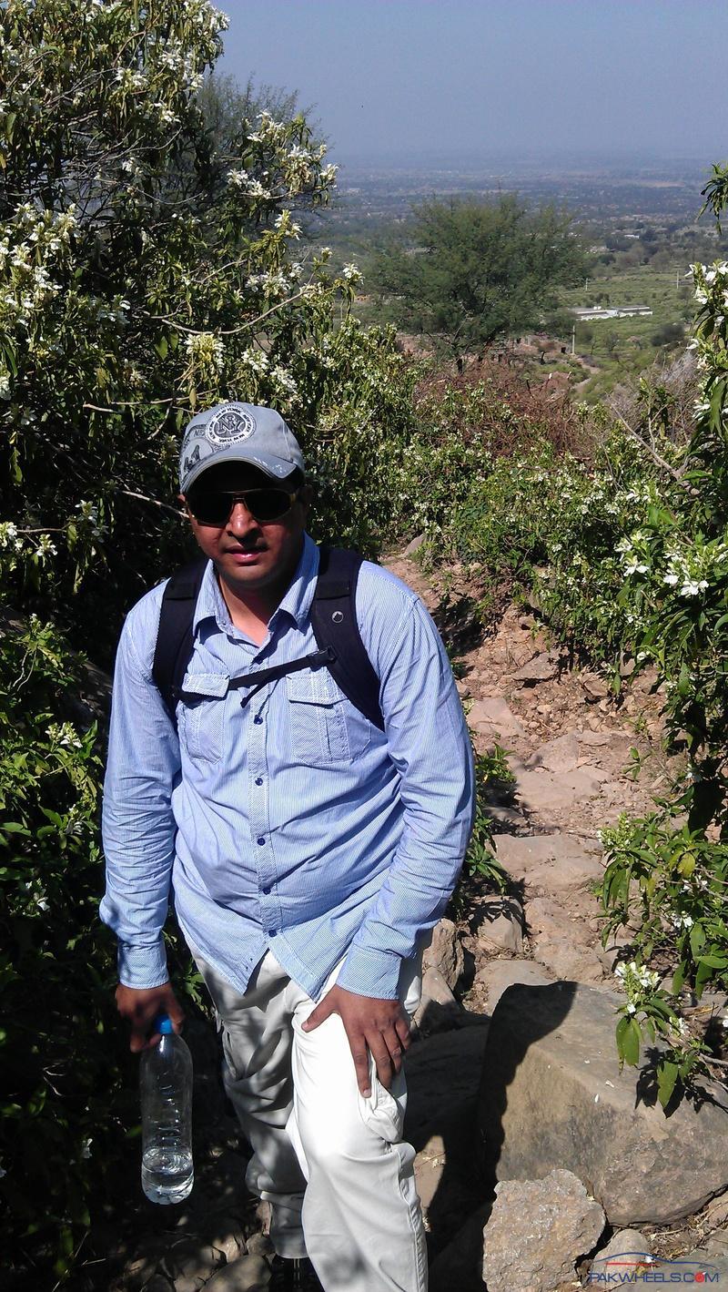
A group member Mr. Hassan
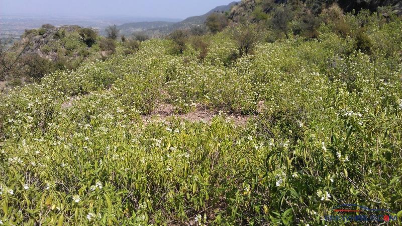
A view of surroundings after 45 min of trek.
He is very much tired 
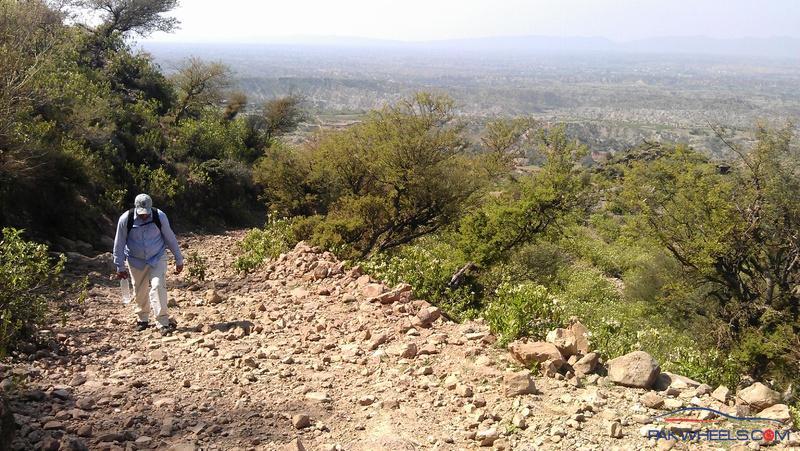
hardly walking